NOTICE: Certain links on this post may earn a commission for Western Hunter Magazine from Amazon or our other affiliate partners when you make a purchase. Thank you for your support.
Hunting GPS MAPS- Not just for keeping you off of private land!
This is my third season using ‘the chip’ as it’s affectionately known in my hunting circles. I keep reading about everyone who loves it to help them successfully navigate and circumvent private property in order to hunt isolated tracts of BLM, Forest Service or State lands. I also do that, but I also see a huge advantage for having and using ‘the chip’ for those that may strictly be hunting private land, Walk-in areas, HMA’s owned by the state or Feds, Waterfowl Production Areas, etc….
I’ll outline a couple hunts to illustrate my point and hopefully help you be a more effective hunter.
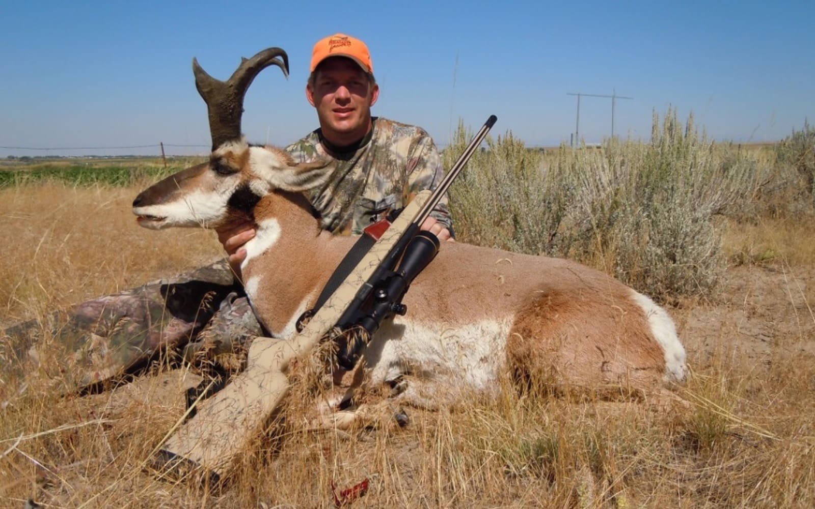
Several years ago my oldest brother, Zane, my hunting buddy Carson, and myself had drawn good buck pronghorn tags in Wyoming. We were excited for the hunt and made our preparations to rendezvous the day before the opener. Zane and Carson were pulling the camper from East Idaho and I was meeting them in the unit. I got there 3 or 4 hours before them and started looking at some honey holes from previous hunts. They were empty, in fact, they were bone dry. I had not realized the seriousness of the drought in that part of Wyoming, after all, all of Wyoming is dry!
It soon became apparent that EVERY ANTELOPE for miles around was down on the private irrigated fields. I checked the Access Yes Maps and found a couple small parcels. Bingo! They were covered up in antelope and so was every alfalfa field bordering them. We knocked on several doors and every response was affirmative to hunt their property. We couldn’t get a couple of the absentee out-of-state landowners to answer their phones, but a couple did. They gave us permission but didn’t have much time to talk and definitely couldn’t outline their property with the map in our truck.
The local landowners wanted the pronghorn shot out of their fields, but were cutting grain and corn silage and didn’t want to take the 5 minutes to outline their property on our maps where boundaries were. “Go down the creek a bit to where ol’ Jim shot that big mulie (29 years) ago. Head out in the hills to Sally’s draw (not on any map!) and then hang NW toward the ol’ McManus place. They probably won’t care if you hunt either so keep going til you hit the dry wash (I could see 25 dry washes from where I was standing) and then...”
Alright, I think you get the jist. All I needed was their last name and then I’d look them up on my GPS and draw their property boundaries on my paper map for reference. We ended up killing 3 great bucks in the next 3 days. We were able to watch Carson’s buck for 4 hours until it came back on land we had permission for (Walk-in Area). The maps from Game and Fish were sub-par at best, the signage for the property was almost non-existent, and the landowner’s directions were grandiose. If we would have used his directions we would have killed it on the adjoining property and been in trespass. Whew!
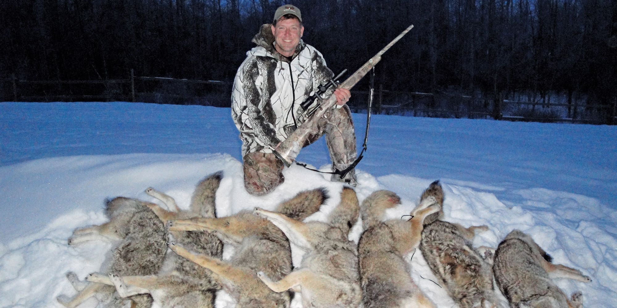
This year my girls and I had the same tag. Drought had everything down on private again. The warden was prepared and gave us a list of landowners that needed/wanted pronghorn out of their fields. The first guy I contacted, gave us permission for the 3 adjoining farms as well but I decided to double-check. He was leasing their properties for farming, so of course he wanted all the pronghorn shot. He wasn’t leasing their properties for hunting, so we would have been in trespass. Thankfully, my chip showed me landowner names that I then cross-referenced with my list from the warden. Pretty soon we were able to access more property than we could hunt in a week. Paige ended up killing her first big-game animal on her first big-game hunt with a tag in her pocket, she also harvested a doe. Kenz harvested a beautiful buck. We harvested all 3 on public lands, just like I prefer, but the knowledge was invaluable.
The past 2 deer seasons in Wyoming I have used ‘the chip’ to skirt the edge of private to hunt some large tracts of BLM lands. The results speak for themselves. Both deer ended up dying within 200 yards of private.
During my elk season this fall, I was mainly hunting National Forest lands. I screwed up and missed a monster bull after glassing him from 4.1 miles earlier that morning. I used the topo features on my chip to help navigate into the country he was calling home. Getting into his home included 6.3 trail miles, over 2,500 vertical feet up (3,500 if you count the ups, downs and up again!), and 9.5 hours to be exact. He was living at a few feet shy of 11,000 feet.
After I shanked the shot, I hunted him for 2 more days without a sighting. I then loaded my backpack and headed for the low country. There is a pretty good size Walk-in property in my unit. The signs on the main county road identifying the Walk-in property are pretty good. Once you’re ¼ mile off the gravel, the signs don’t exist. I relied on ‘the chip’ to keep me off the adjoining neighbor’s property.
I’ve used ‘the chip’ to access grounds for upland birds. If I lived in the Mid-West where WPA’s are prevalent, I’d bet my chip on helping lots of roosters find their way into my fry pan. Same with waterfowl and turkeys and whitetails...
Next time you stop to ask for permission to hunt on private property, take their ‘surveying’ skills with a grain of salt. Consult your chip. It just might save you some headache down the road.