NOTICE: Certain links on this post may earn a commission for Western Hunter Magazine from Amazon or our other affiliate partners when you make a purchase. Thank you for your support.
BaseMap for E-Scouting
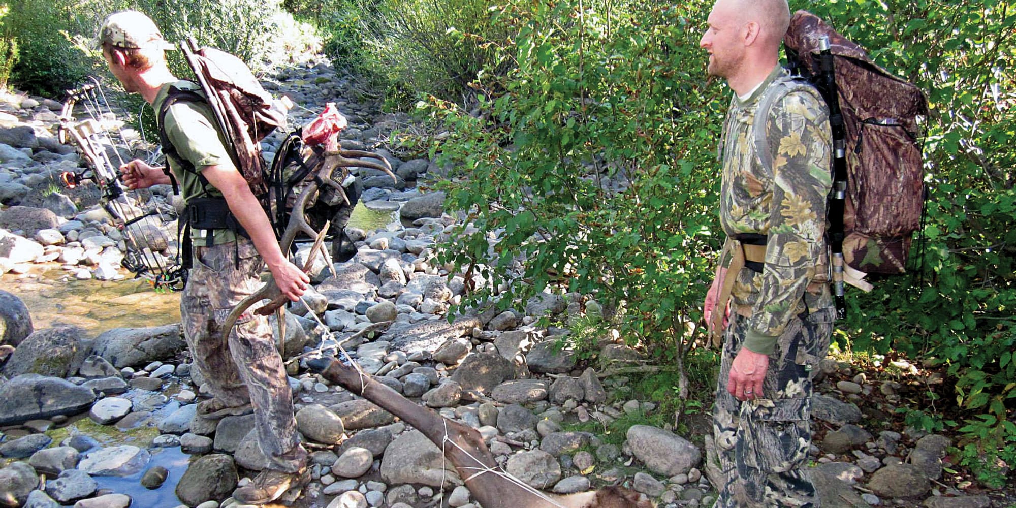
DIY western big game hunting is a lot of work. The planning, preparation, travel, and hunt all require time and dedication to put all the moving pieces together. Researching an area, figuring out where to apply, and then drawing the tag is only half the battle. Once that coveted tag is in hand the real work begins.
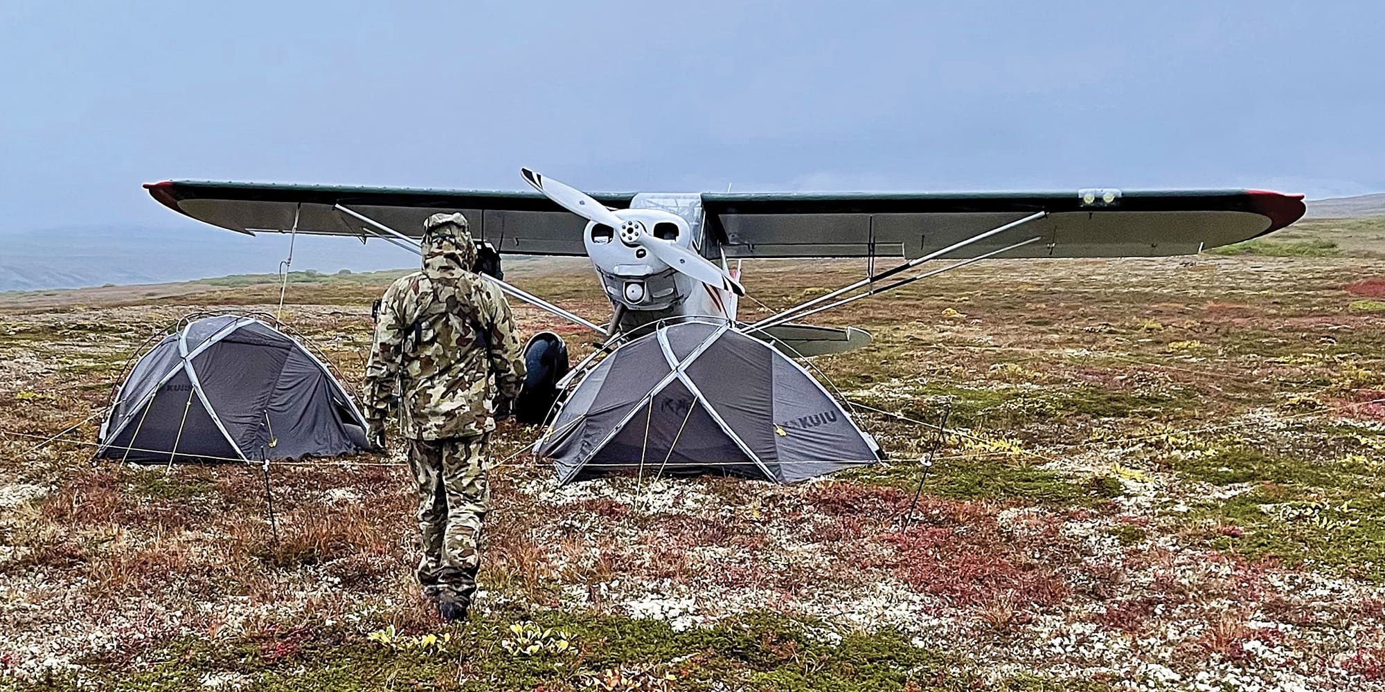
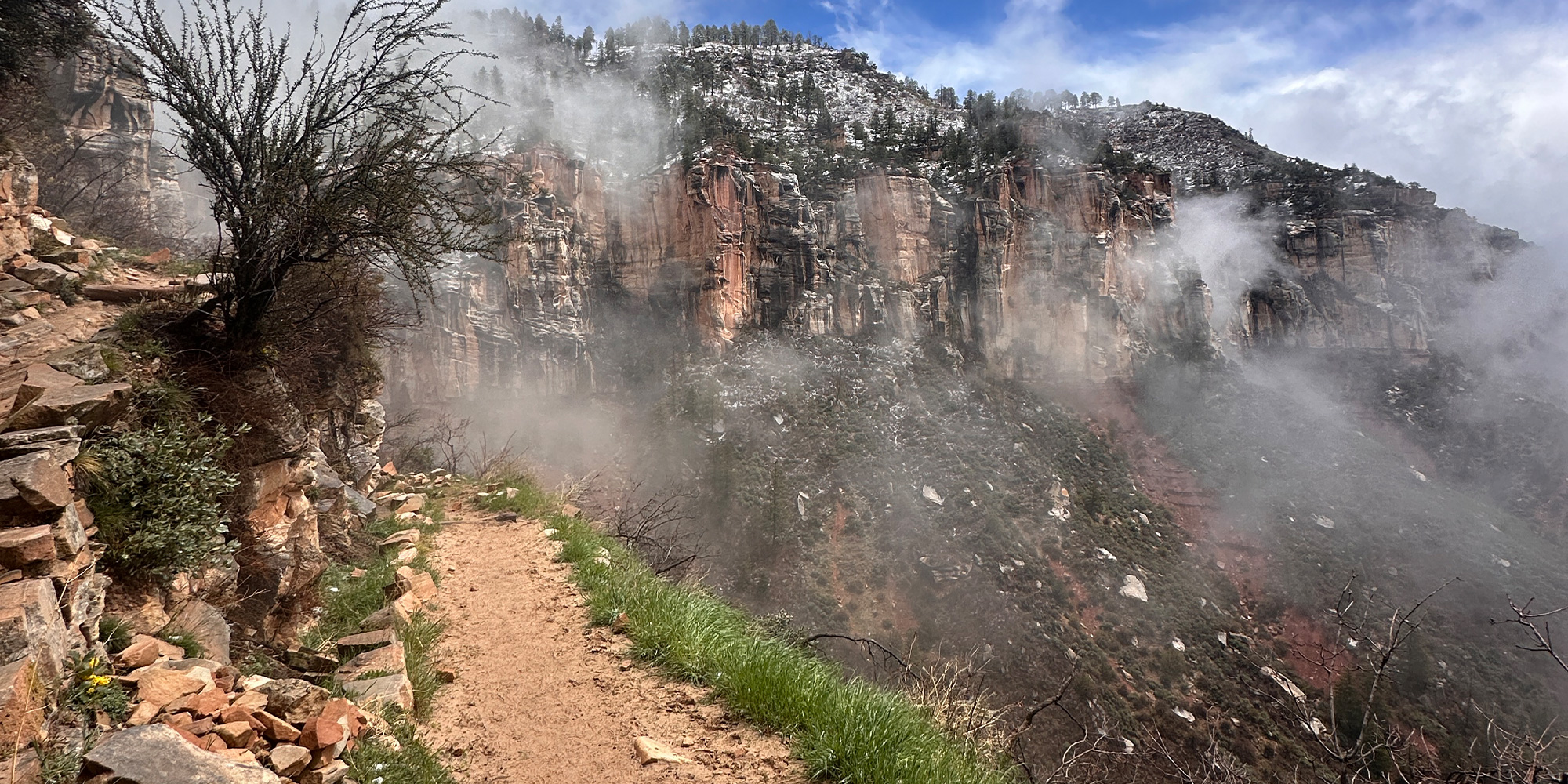
Many non-resident hunters don’t have the time to get boots-on-the-ground scouting in an area prior to the season. This can make it difficult to narrow down a place to set up camp, get water, or even where to be sitting on opening morning. Thankfully, there are tools like BaseMap available to hunters to allow them to e-scout from the comfort of their homes. These tools will help them get a feel for the area before they show up in the fall. For all non-resident hunters, the trip is expensive and could have been years in the making. Utilizing every tool at their disposal can make the difference between a freezer full of meat or an empty cooler on the way home.
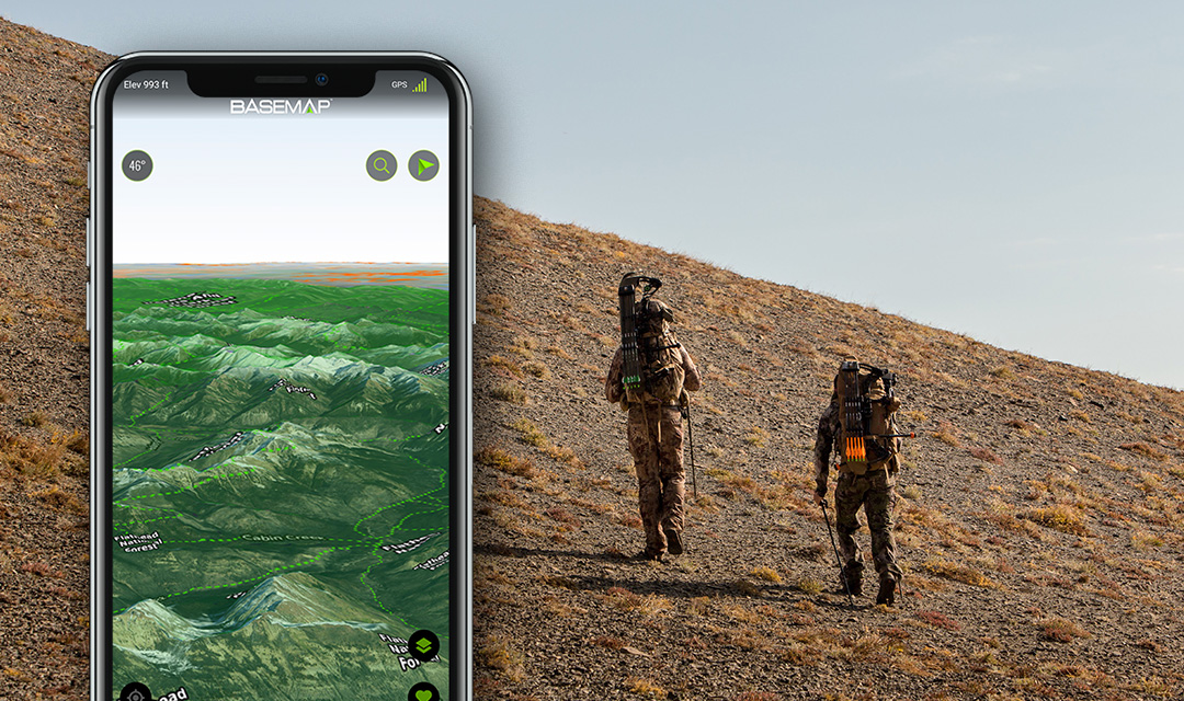
BaseMap is a mobile app and a desktop web-based platform that allows hunters to use satellite imagery, offline mapping, and a lot more to use for e-scouting prior to a hunt. One of the best features of BaseMap is the ability to use a large desktop screen for area research, then add markers on trails, water, glassing spots, etc, then download the offline map of the hunt area onto the mobile app. This allows the user to have all the data and markers that were added on the desktop at their fingertips in the field.
Layers
BaseMap has over 800 layers for hunters to use while doing e-scouting. They can all be found on the left side of the screen on desktop or the layers button in the bottom right corner on mobile. There, users can find a list of layers based on various categories. Each state has various additional layers specific to that state, like unit border layers.
One of the most popular and heavily downloaded layers is the Road & Trails category. Here is where you will find USFS Roads and Nationwide Trail layers. When looking to get deep into the backcountry, having a network of trails easily accessible can help find access points and get into new country quickly if a move is necessary. Knowing where the trails are could also help someone find better and faster routes to remote water sources, basins, or ridges.
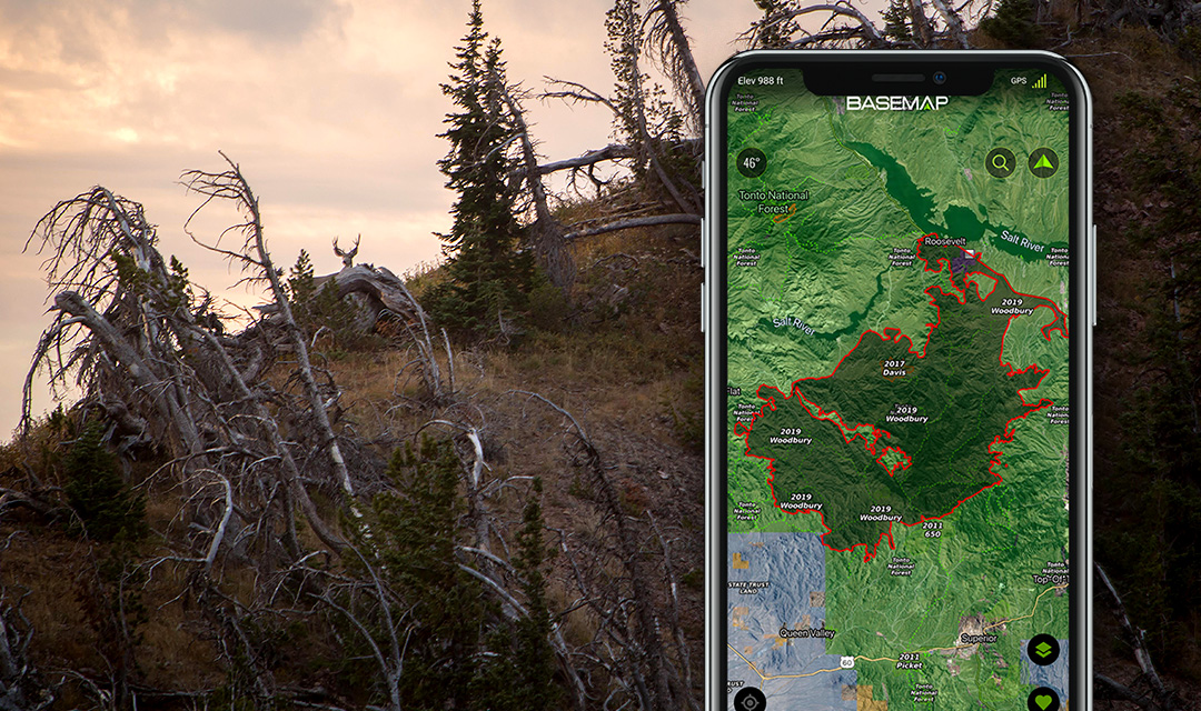
Some other informative layers that are offered on BaseMap are the historic and current wildfire layers, as well as nationwide USFS timber cut land. Knowing where these areas are might help pinpoint spots to glass that may hold more game. There is also a nationwide rivers and streams layer that can help find springs, creeks, and water holes.
Markers
While e-scouting on the desktop web-based platform, users can add markers to the map in areas of interest. There are various icons to help categorize the markers so that identifying them on a phone in the field is easy. Names and notes can be added to each marker so that specific details for that marker can be quickly referenced. This makes it simple when plans need to change and multiple areas had already been researched. For example, marking a camp spot and making notes of surrounding terrain and topography can help give a birdseye view perspective of the area once actually there and working on a small phone screen.
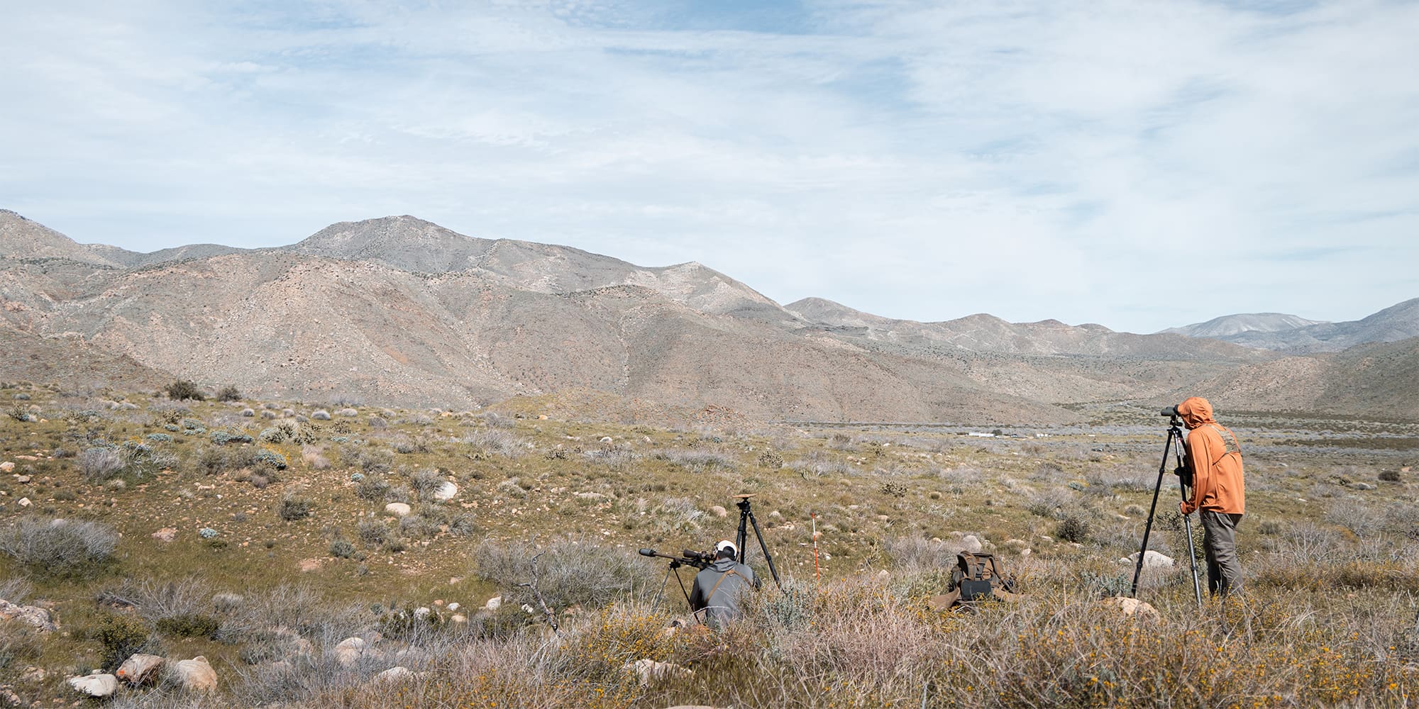
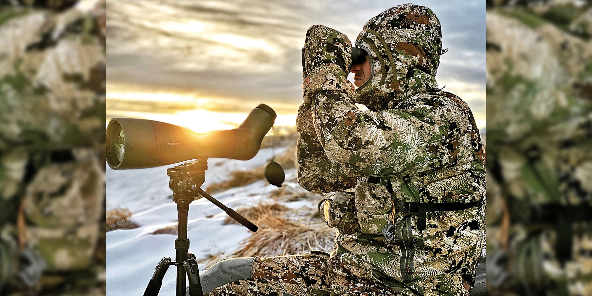
Western Hunter’s own Nate Simmons uses BaseMap to locate and mark different glassing spots. Marking these areas of interest before the hunt starts eliminates the in-field frantic map searching and gives confidence knowing there are predetermined options.
Once all the layers and markers have been added to the map, switch over to the mobile app. Anything that was added on the web version will automatically show up on a mobile device under the same account.
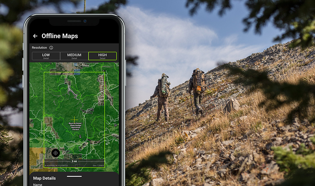
Offline Maps and Sharing
Now that the e-scouting is complete and the markers, layers, and notes have been added to the map, it's time to save the map for offline use on a mobile device. This allows the user to navigate the country and access all the markers and layers without cell service. Even while offline, any new markers saved on the map will be available online once back in service. This is useful to catalog learnings as the hunt goes on. The more information gathered the better off future hunts in the same area will be.
Hunting with a buddy? BaseMap allows the sharing of markers with other users via text or email. Once the recipient opens the message, the marker is automatically added to their map as long as they are BaseMap members.
Conclusion
BaseMap is constantly improving its offerings and features within the app and web-based platform. Coming soon is 3D satellite imagery to desktop, which is already available on iOS devices. Any new layers or features will update within an existing account.
Although nothing can beat in-person scouting, e-scouting has become a common practice among serious western hunters. BaseMap has taken this concept and helped combine e-scouting and boots-on-the-ground efforts. The ability to research, mark, analyze, and predetermine areas, and then have access to that information on a mobile device without service has helped bring more confidence to hunters who may not live close to where they drew a tag.
If you have any further questions about BaseMap and what they offer, give them a call or shoot them an email. We hope the above information has helped, and you are now a BaseMap subscriber.
By: Ed Gramza of BaseMap