NOTICE: Certain links on this post may earn a commission for Western Hunter Magazine from Amazon or our other affiliate partners when you make a purchase. Thank you for your support.
Using a Topo Map to Locate More Elk
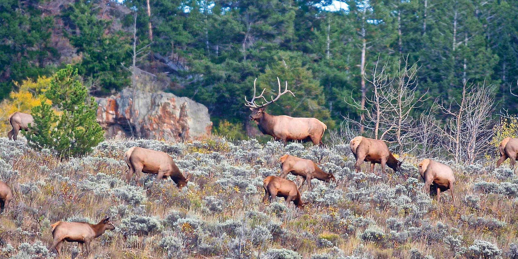
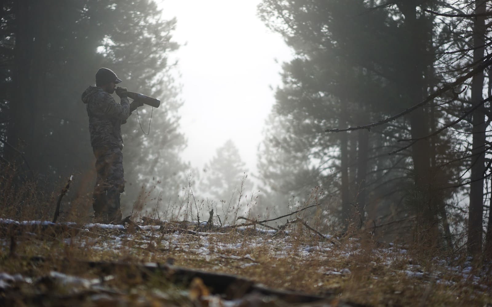
Elk encompass a wide variety of terrain across the West, from big alpine basins in the Rockies to sage country of the high desert. Of their typical hunts, no area can be as daunting to hunt as thick/dark timber – the seemingly endless conifer forests that aren’t glassable. This type of terrain can be tough elk hunting, especially late in the season when the elk refuse to make noise.
Narrowing your search for a place to hunt here can be tough because your view of the area is extremely limited. Knowing where exactly the elk hang is important because you have to walk within eyesight of the animals. There is a science to finding timber bulls, and with the right information, you can pinpoint where those animals will be in that sea of trees.
We’ve all heard it before: food, water, cover - the main ingredients to finding elk. While that is true, that doesn’t always give you a pinpoint. One of the most overlooked and beneficial tools for locating bulls is topography. Topographical features tell a story on paper and reveal clues to where elk may be hiding when you can’t see the lay of the land from on the ground.
Hidden topographical features can help you narrow down the search area. Benches, fingers, bowls, basins, and wallows are elk hotbeds. Certain topographical areas will tend to hold more than others, and this will help when you are trying to figure out how to locate more elk.
Elk Behavior and What to Look for
Topography tells the story of elk behavior. Understanding why elk do what they do will help you pin them down. Two things to key in on regardless of the time of year are safety and comfort. Safety is a given; elk want to have cover from predators.
Comfort is less talked about, yet extremely important. Elk are large animals that want to expend minimal energy when possible. They can live in gnarly country and walk up a steep face with ease, but if given the option, elk like to travel ridges and fingers that are easier to navigate. They have common trails that avoid large blowdowns of timber and they love to bed somewhere relatively flat!
Comfort & Security:
First, let’s key into the comfort aspect of their behavior. Ever wonder what elk do during hunting hours? They bed down. During a large portion of legal hunting hours, elk are just lying there. Bedding is a daily activity and they have preferred places to bed. I’ve watched elk feed in one area and then travel a mile away just to lay down for the day. Why? Because it was the best place that provided both comfort and security.
When elk bed, if there is any slope, they have to position horizontally, usually looking down. This means that unless the wind is at their back, they are spending most of the day not covering all their bases. Aside from being more comfortable bedding on a flat ridge, the ridge or finger gives them more potential options for escape, giving them quick downhill getaways in multiple directions. The word flat here is often used as a relative term.
In instances where there is more slope, the elk will bed where the prevailing wind is moving downhill. This is the safest place for them.
How Behavior Can be Seen on a Topo Map
With knowledge of what elk prefer, we can now begin to paint a picture of where they’ll most likely bed. Look at the topo map and find where the terrain creates these ridges, benches, and fingers.
Local knowledge of prevailing winds will also help focus where on the mountain the elk will prefer to bed. Also, take into account thermals. Thermals rise with the heat of the day and drop as it cools. The sunny side of the mountain will have uphill thermals longer, while the shaded side will have down thermals longer in the mornings before it switches. The opposite is true in the evenings.
Take a look at the topo map and put all this knowledge together. Remember, you want a downslope wind and a flatter ridge or finger. Also, look for flatter spots in the topography that may not be a ridge. These can help you identify other bedding areas, especially in steep country.
They can also be keys to pinpointing wallow areas. This is identified by looking for places where the topography lines gap out more than the surrounding area or where the lines are circular in shape (indicating a space of constant elevation, normally peaks).
Basins and bowls: A basin or bowl is a feature you should key in on when looking at a topo map. There are a lot of practical reasons for this, but one is due to bedding and safety. On a topo map, a bowl is where the topo lines make a general semi-circular shape over a large area. Key in on bowls that have multiple potential bedding areas on either side. The reason for this is it allows the elk to choose bedding areas based on wind.
After feeding, the elk will generally walk into the wind to where they will bed. An area with multiple options helps you find a smaller localized area to hunt. One of the first things I do when looking at a topo map is to key in on these features first.
Finding timbered wallows: Locating wallows can be a great way to narrow your search, especially during the rut. Once again, a topo map can give you some hints.
I’ve found that the most productive wallows tend to be ones isolated from a creek. These will hold the scent better, attracting more elk. I find these by looking at a topo map above creek headwaters or flat spots mid-hill. Water running underground but close to the surface will hit these spots and pool. Elk will take advantage and turn that into a wallow. Often, small streams will be underground near the top of the mountain, but don’t actually hit the surface until it hits a ravine.
In Practice
When at home, I’ve found that the best method for planning a dark timber hunt is to use all the technology and tools at my disposal. Online and app-based map data can allow you to mark potential spots and then use either your phone or GPS to navigate to those exact areas.
I use the OnX Hunt map system and app. From home or on my phone, I can pull up topo and satellite layers, or a hybrid of both. From there, I’ll study the topo and mark good potential bedding areas, easy travel ridges, hidden basins, and possible wallows. I’ll then download the offline maps and use my phone GPS to navigate to those locations.
Personal experience base:
Finding elk areas on a topo map involves recognizing patterns and exploiting them. If you have a non-timbered area where you regularly see animals or even an area that is timbered where you consistently find elk, pull up a topo of these “known elk areas” and save them.
Create a database of places you’ve found elk and then use that topo to find similar areas. You may be surprised at how similar topographical patterns hold elk in a number of different places throughout elk country.
Testing the hypothesis:
Once you’ve narrowed down potential features that look promising, you’ll need to physically inspect them.
If possible, check the area during the rut. This will allow you a chance not only to hear elk but also to find the kind of trails and bedding areas that get hit the most. Later in the season, this will be valuable info when the elk get quiet.
Basics of Reading a Topo Map
For some, reading a topo map may come as a mystery. I’ll break it down to the basics for better understanding.
Contour lines:
These lines represent the change in elevations on a topo map. The key will tell you the interval of the lines. Most topo maps are 40 or 80, but this can often be customized in mapping software. If you don’t have a key, you can also figure it out by the difference in index lines and the number of lines between.
A contour line remains at the same elevation for the entire line and they never intersect with other lines. The closer together a contour line is, the steeper the area. This would indicate a rapid change in elevation over a short distance.
Index line:
These are the darker or thicker contour lines that show the numbered elevation. Index lines are five contour lines apart. This will help you gauge the steepness of a mountain as well as identify features.
A Circle:
A circle indicates a peak or high point. Sometimes a circle can relate a depression as well. They generally are indicated with lines spurring off the contour line. You’ll also notice elevations decreasing if the circle was not a peak. A pass or saddle would be indicated as a spot between two peaks.
Blue lines:
These lines show streams this will help you indicate the bottom of valleys if a stream is present.
Inward and outward contour lines:
Inward lines will show the bottom of draws or gullies, whereas outward lines help indicate the ridges. Another way to think about ridges or valleys is if the V or U shape of a contour line points to higher elevation it is a valley. If it points to a lower elevation it is a ridge.
The best way to learn to read a topo is to study one in an area you can see. It will help you identify features on the topo map and give you a better feel for what you’re seeing.
TOP 5 Elk Features
Bowl: area with lots of options for bedding, depending on the wind.
Ridge: potential bedding area, a ridge is flatter than the surrounding terrain and gives elk lots of escape options. These are also popular travel routes. They’re easier to walk and require less energy. These may be used as travel routes to and from bedding and feeding areas.
Finger ridge: these are ridges that drop off the main ridge.
Wallow: normally located in flatter spots or depressions where water would be. Look for areas near stream headwaters or along streams.
Correct side of terrain with wind: keep in mind the wind direction for the day in combination with the topography.