NOTICE: Certain links on this post may earn a commission for Western Hunter Magazine from Amazon or our other affiliate partners when you make a purchase. Thank you for your support.
Navigating the Backcountry Horseback Hunting
Although there is a lot written about navigating the backcountry on foot both on and off-trail, there is very little information written about navigating in the backcountry while horseback hunting, especially in hunting situations. In this article I will describe how I have traveled in remote areas throughout the West with my pack and riding stock, using both age-old techniques as well as the technology which is currently available to us today.
Be Prepared
Just a couple of weeks ago a 25-year-old Utah man on a horseback hunting trip with his father and two siblings was lost in the Selway-Bitterroot Wilderness for five days before he was found, far off any trail, so far off that he had to be rescued via helicopter. After he did not turn up at the trailhead a ground and air search were launched with five search parties on the ground as well as helicopter support. Apparently, the family’s children had “grown up in the outdoors” but by today’s standards that could mean anything in terms of their readiness to make a trek into the Selway-Bitterroot Wilderness. The father and three of his children had apparently been backpacking in the area previously and decided to take horses on this trek. The trail turned out to be more difficult and longer than they expected and the “horses began to struggle.” When one of the horses turned up lame, the 25-year-old son decided to go ahead on foot. He never showed up at Indian Lake, the evening rendezvous point for the group. When he did not show up the first evening, the party assumed he had walked out to the trailhead at Twin Lakes, some ten miles from Indian Lake. When he was not there a search was launched.
As I look at this scenario, it is evident it is the result of a great deal of human error and could have been prevented with a few very basic backcountry safeguards.
(1) Assuming that someone who had “grown up in the outdoors” knows how to negotiate a wilderness area such as the Selway-Bitterroot is not a prudent assumption.
(2) Leaving your party alone without clothing or food is simply not a wise choice.
(3) The party leader, the father, did not make a wise choice when he allowed the party to separate.
(4) The trails in the Selway-Bitterroot are not well-maintained and have a lot of fallen trees and other obstacles that present challenges for horseback hunting, especially horses that are not seasoned to the backcountry. The party leader should have researched the trails and known these facts.
(5) What did the party have in the way of a GPS, topographic map, USFS maps? Although not well-maintained the trails are easy to follow. These basic navigational aids could have prevented this situation from happening and saved a lot of time, money, and grief for the family.
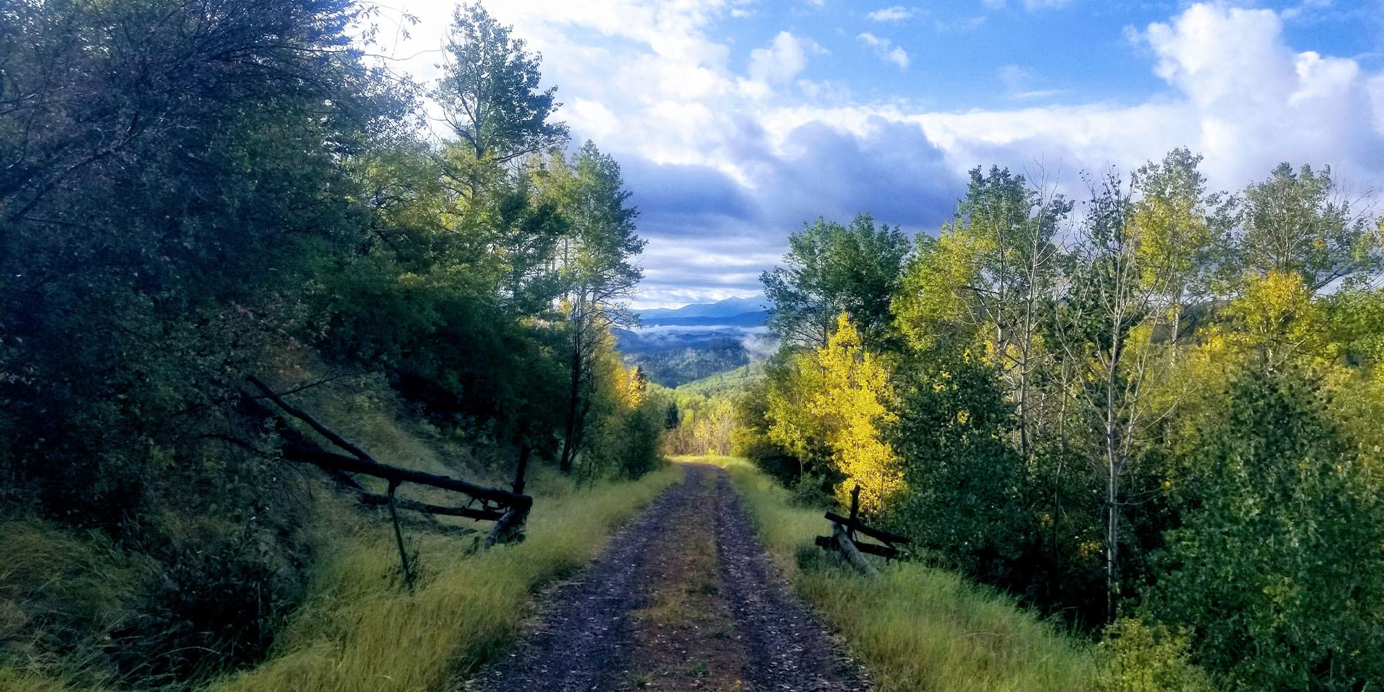
Many backcountry trails present challenges in terms of rocks, steep grades, and treacherous obstacles, all of which present significant challenges for horseback hunting.
Horseback Hunting the Backcountry
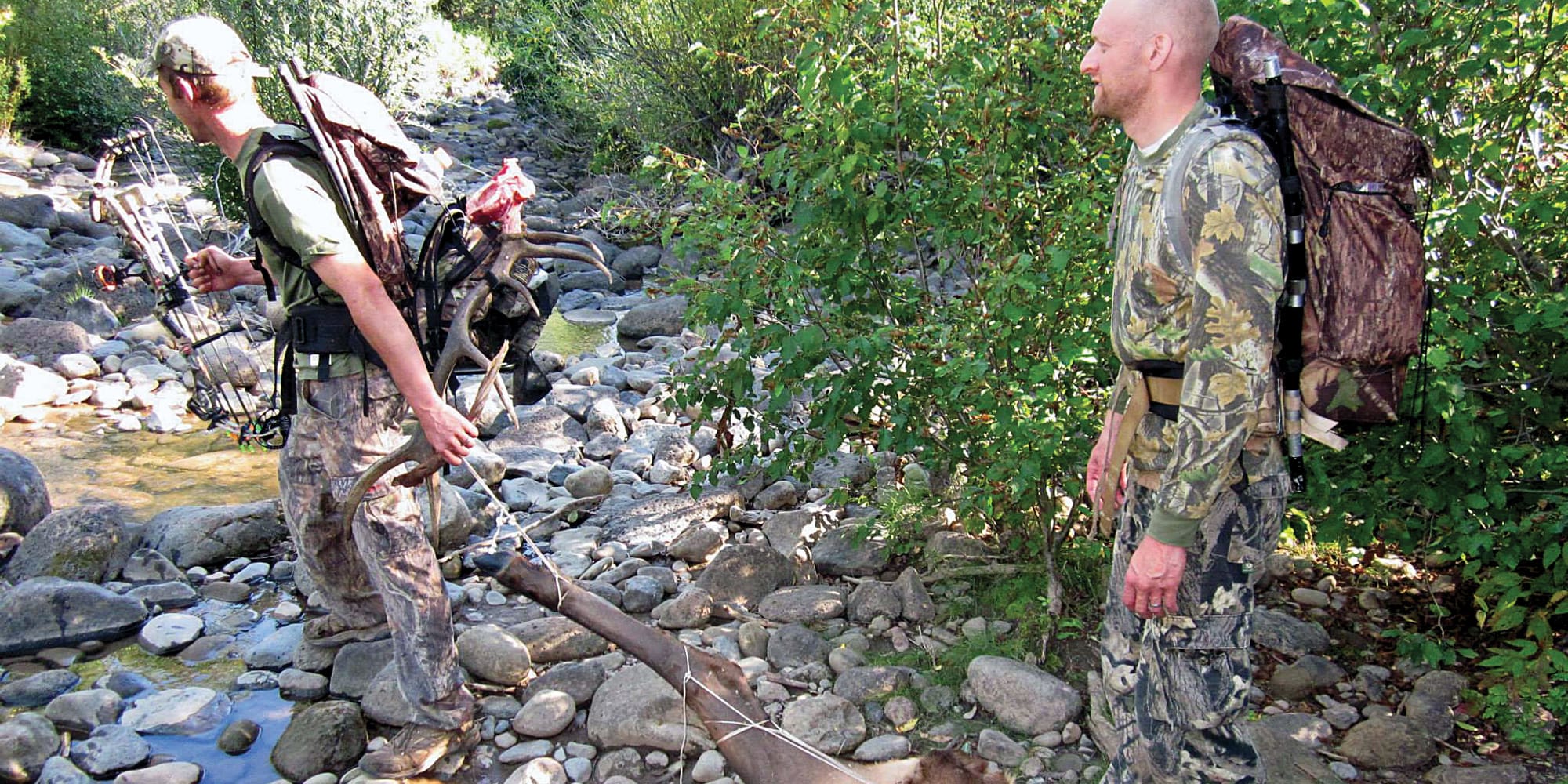
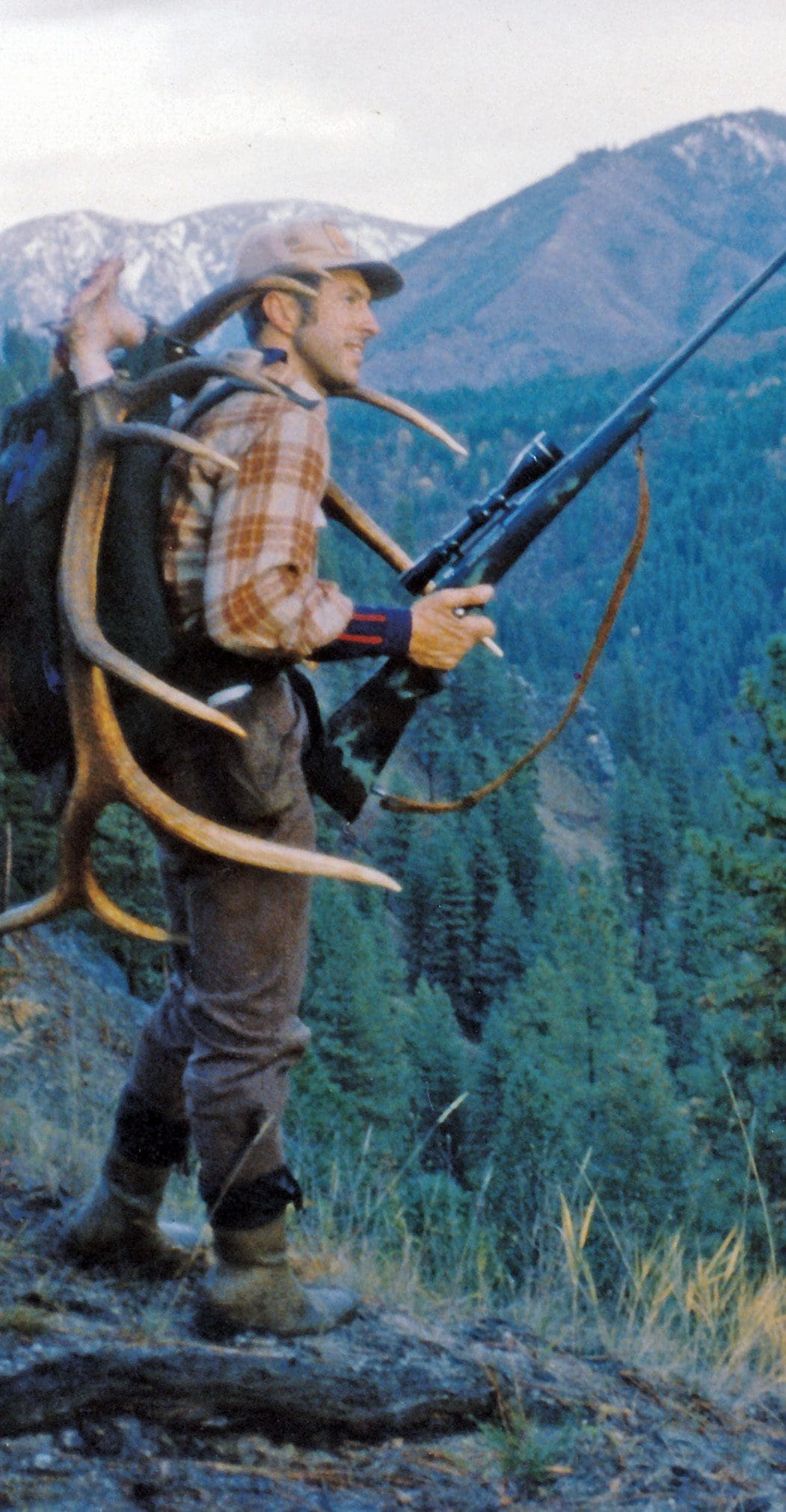
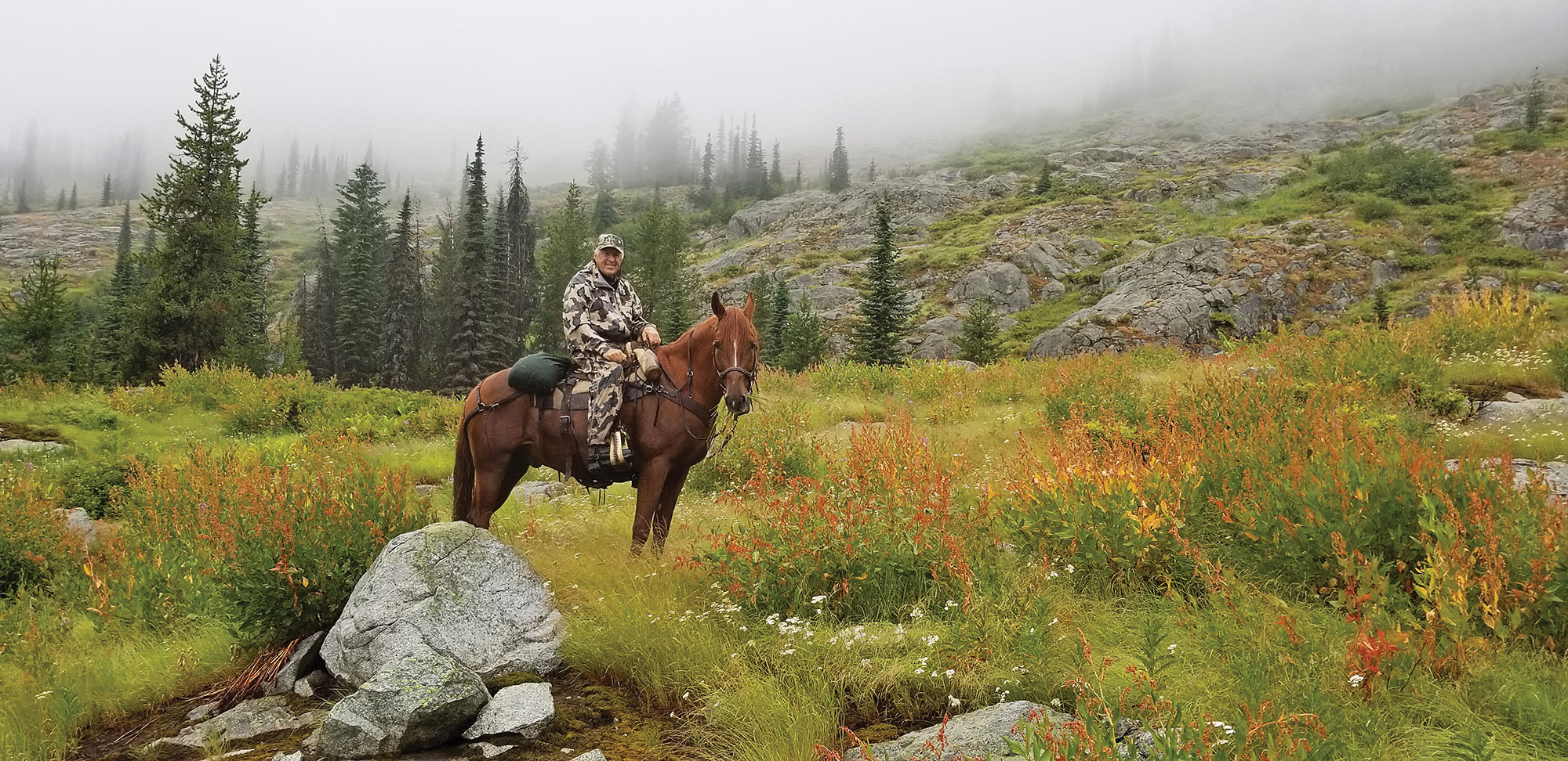
From the previous scenario, it is evident that the party’s stock was likely not fit for the backcountry trek they chose. It is one thing to take day rides up and down well-maintained mountain trails. It is an entirely different situation to take stock into the backcountry where feed may be scarce, trails steep and challenging as well as significant trail obstructions and obstacles which may be encountered. Horses and mules need to be “seasoned” or “in shape” for the backcountry and be property shod and equipped with tack that is suited to the animals and the terrain. Taking a bunch of “dude” horses into the backcountry is often a good way to get into trouble and injure your stock.
Many of the backcountry trails in Idaho, Montana, and Wyoming present difficult challenges in terms of a great deal of rock, steep grades, and treacherous obstacles, all of which present significant challenges for horseback hunting. Before taking stock on thee trails the stock needs to be conditioned, shod, and trained to handle difficult obstacles.
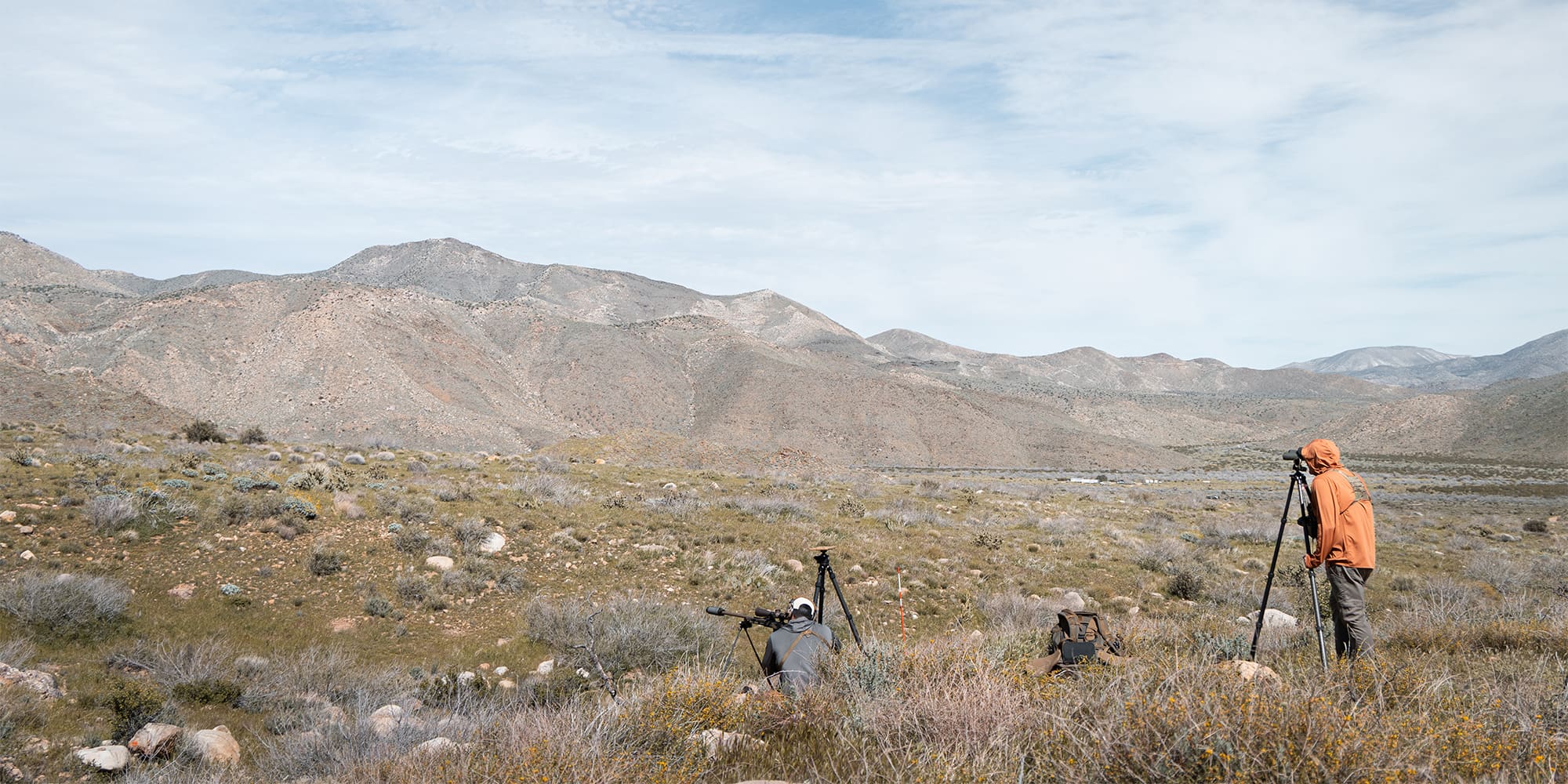
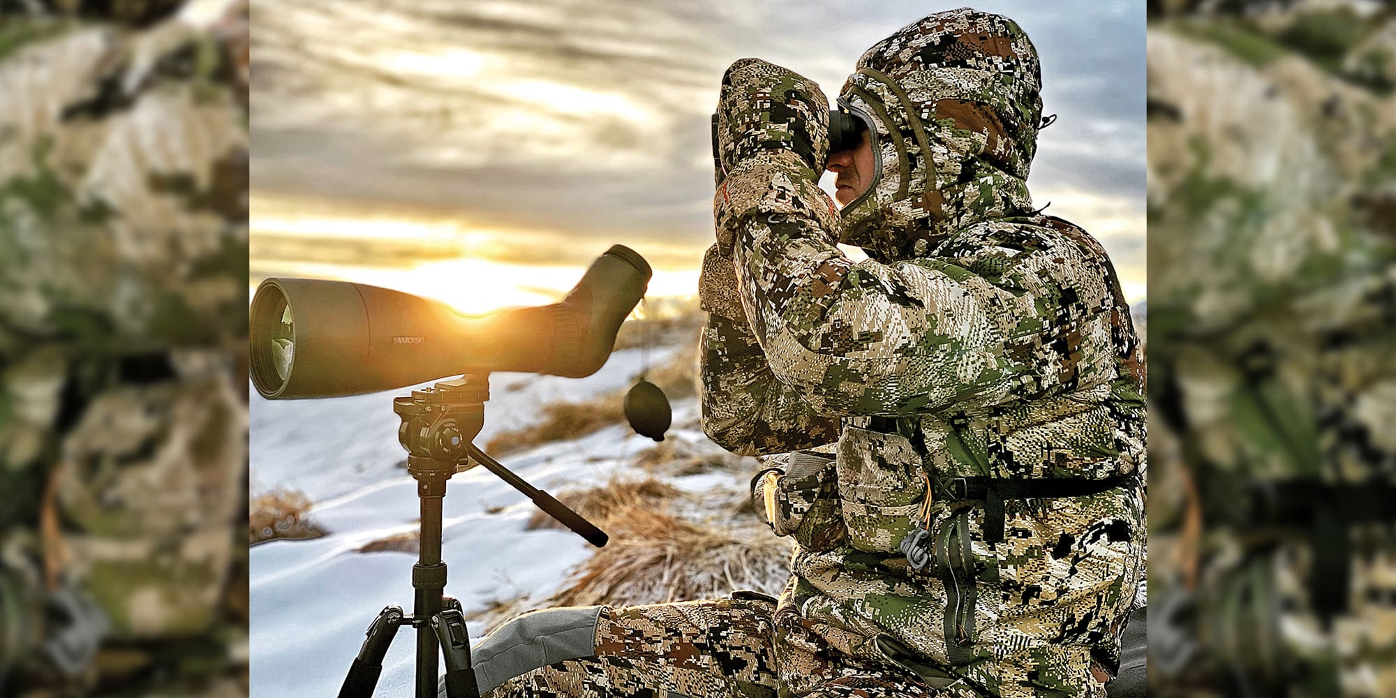
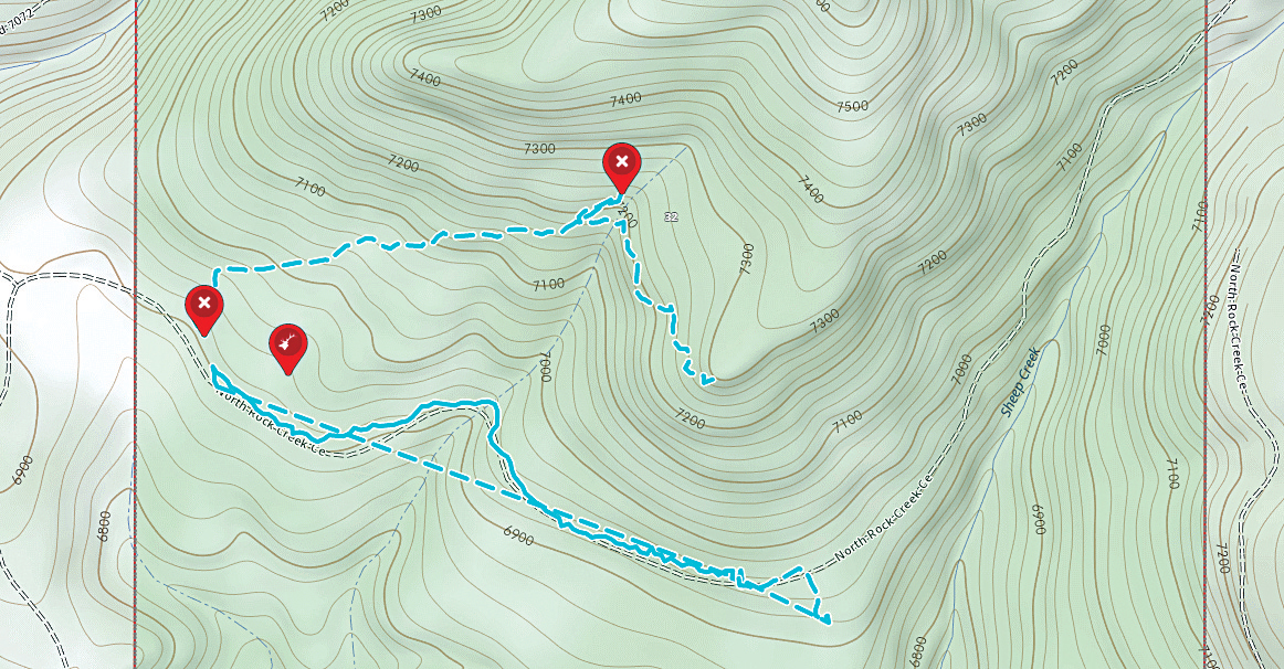
The author found himself on this remote ridge in Montana’s Bob Marshall Wilderness when he relied on his GPS to navigate a trail back to camp. With the trail covered with snow and impossible to see, he missed a newly constructed trail that branched off the main trail in a big open meadow.
Maps and a Compass
Years ago, when I was just a beginner in horseback hunting the backcountry my primary means of exploring and scouting new areas was on foot, backpacking into remote areas in search of various big game habitat and the species that went along with the habitat. During this era, my efforts were guided by USFS maps, USGS 7 ½ minute topographic maps, and a compass. Once I found trails on maps which potentially would give me access to a key area, a great deal of effort was spent checking out these trails each summer to determine if they were maintained, or not. If they were not maintained perhaps they could be made passable with stock if I cleared fallen trees and other obstacles.
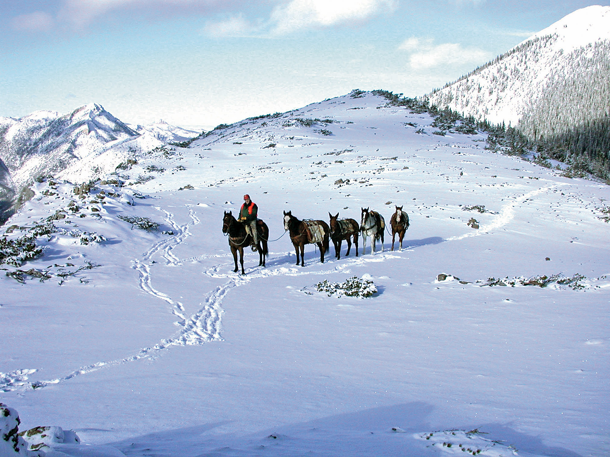
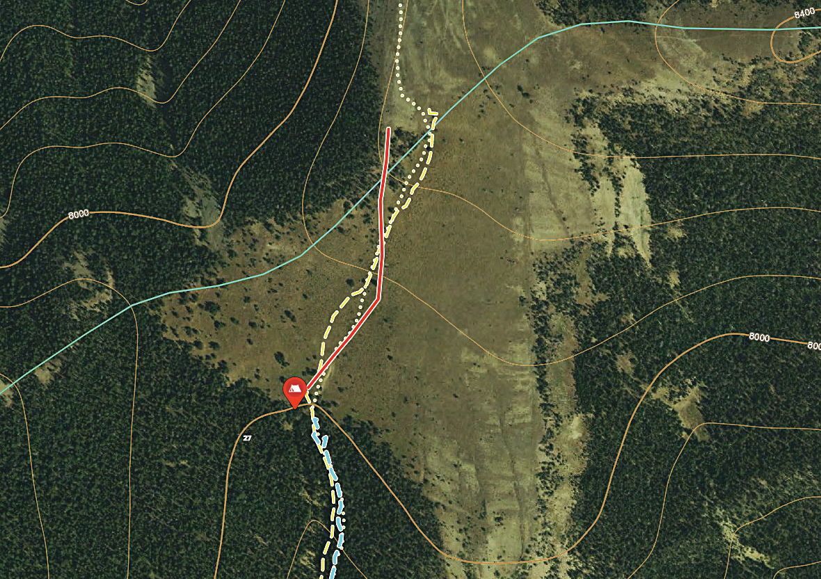
The most recent USFS travel and forest maps can be generally relied upon to have accurate trail locations, restrictions, and other information you will need for on-trail navigation in the backcountry. Maps that may be on your GPS should be correlated with the latest USFS maps as there is nothing worse than following a trail that may show up on a GPS map that has been abandoned. A number of years ago I was horseback hunting in the Bob Marshall Wilderness and had killed a bull elk. With an abundance of grizzlies around camp I made the choice to pack the elk out to the trailhead on a trail which I had used to come into the area. As it turned out it was snowing hard when I went out with two feet of snow in the trail at the top of the pass. I didn’t think much of it as it was a good well-maintained trail. The next morning on my way back to camp the wind had blown the snow over my tracks and the trail was difficult to see. I relied on my GPS to keep me on the trail, especially in open parks and similar areas. As I neared the ridge with my pack string my riding horse wanted to veer off the trail to the right in an open park. I stuck with the GPS route and soon found blaze marks on the trees and what appeared to be the trail. After a mile or so the trail dropped off the side into a heavily timbered draw and ended in a mass of downfall. I immediately knew this was not the right trail so I backtracked the mile back up the mountain to the opening where my horse had wanted to leave the GPS trail and sure enough, a new trail over the pass had been cut just the previous summer and did not show up on my GPS. It was obscured by the deep snow… I was one hungry cowboy when I rode into camp quite a bit after suppertime.
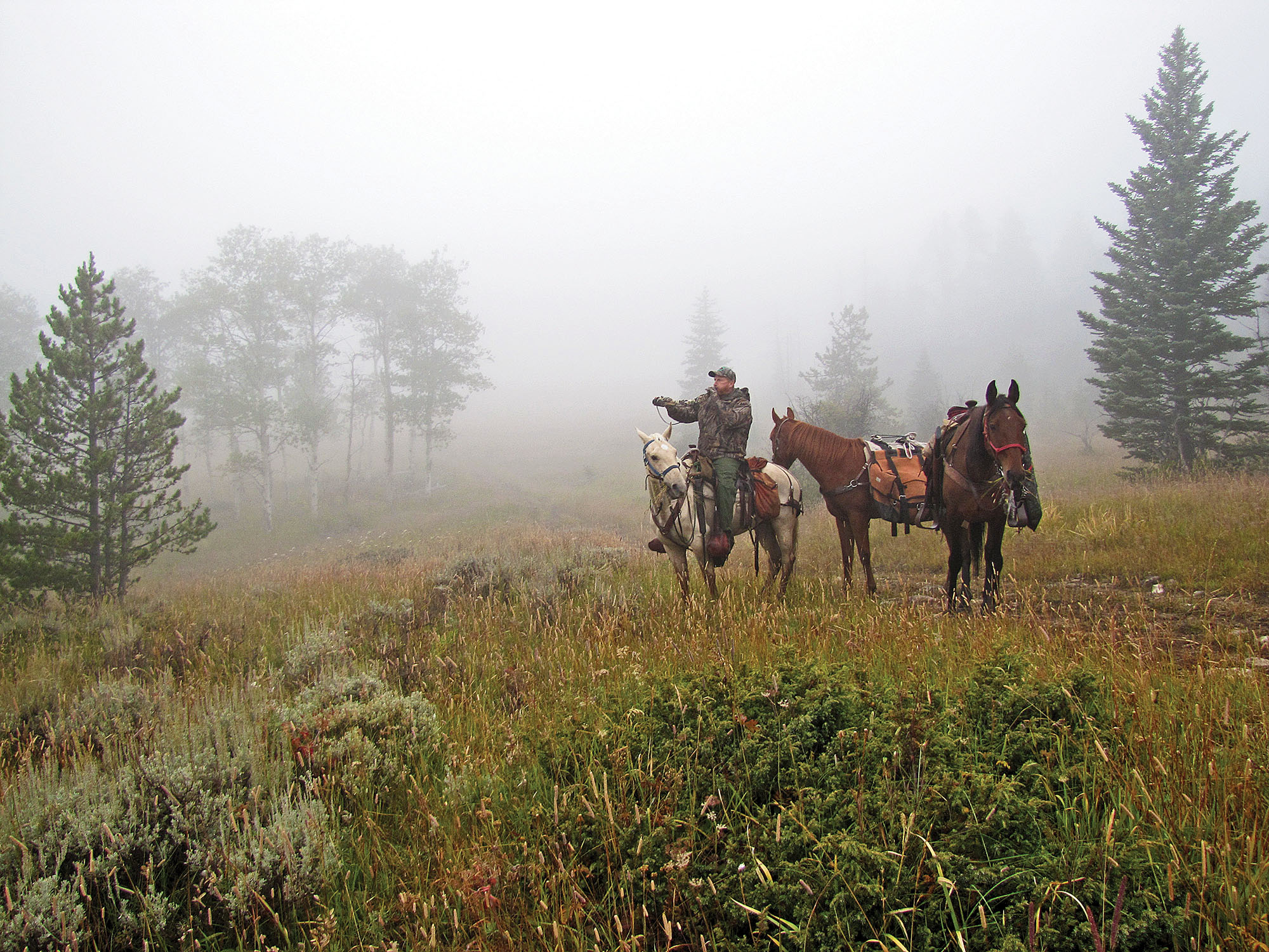
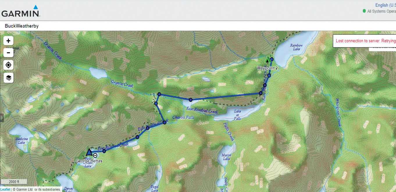
It is always a good idea to check with the local regional office of the USFS or BLM when you are going to a place where you have not been before. I would specifically ask to talk with the person who runs the trail crew and walk the person through your route to note any changes, etc. Plan ahead as it may take a day or two to get to the right person. I have found that there is a wide range of what information you will get from whoever answers the phone or gives you the information in a USFS office. As an example, just this past week I made a pack trip into Montana’s Beartooth Wilderness on a trail called the East Rosebud Trail (#15) and also known as the “Beaten Path.” I called the USFS Regional Office in Red Lodge to inquire about the trail, horse facilities, and water at the trailhead, etc. I was also told that the trail was well-maintained and that the trail crew had just been over the trail. Since this is a very popular and well-used trail I assumed the information I received was correct. It was my error. What I was not told was that we were the first group of horses and mules to traverse the trail this summer…..which I can understand after making the trip. The first eight miles of the trail are mostly granite rocks and boulders, with many very dangerous rock ledges, rock outcroppings, and narrow passages, suitable only for experienced pack and riding stock. Although our trip went without any serious issues, I should have asked more detailed questions and drilled down to a USFS employee who had actually been on the trail.
“Ground proofing” unknown USFS trails or potential off-trail routes, including backpacking and hunting the areas prior to attempting them with stock, often requires a great deal of effort and perseverance.
Finding Unknown Trails
The USFS updates maps on a fairly regular basis and many old trails that are no longer maintained are dropped from their map updates. I have found that if you can find copies of these old maps you may find a “treasure trove” of new and largely unknown access routes to key areas useful for horseback hunting, but perhaps not useful any longer for current USFS travel routes. Often these trails can be made passable with stock by cutting out fallen trees and other obstacles, without violating any USFS policies related to cutting new trails or green trees. Sometimes you can often learn about the location of these trails from USFS retirees or even regional offices, however, I have found that as time passes the current USFS employees are less and less familiar with what trail conditions may be like, even on well-used trails. The reason for this is simply because they do not get out on these trails as often as the old “brown shoe” forest officers once did. The other reason is money….and priorities on how their time is spent. A less common source of old trail information is from old time outfitters who may have used an area.
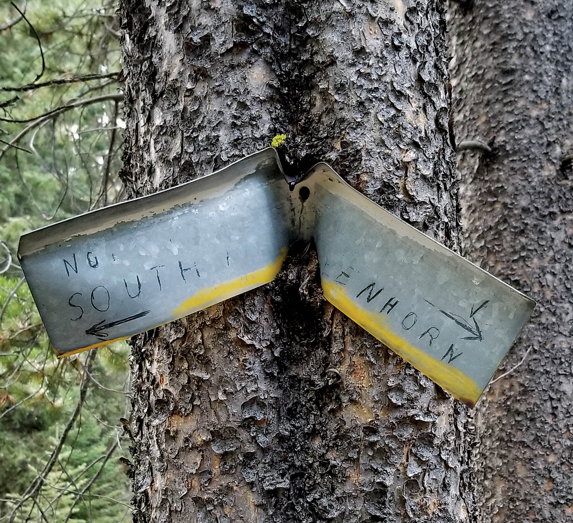
Abandoned trails can lead to a treasure trove of great hunting if one can find them. Remnants of old, abandoned trails may be found throughout the backcountry, including trail signs embedded in trees, old grown over blazes, etc.
Off-Trail Navigation
As a hunter, I find that if you want to get away from the crowds or simply access key hunting areas you may have to navigate off-trail with your stock, either to a strategic campsite or a hunting area. More specifically, I like to find a remote and off-trail campsite which is located strategically providing easy access to a key hunting spot. For many years, in order to locate “off-trail” routes to areas which might hold elk, such routes had to be laid out on a USGS 7.5 minute topographic map, then checked on the ground, on foot or horseback. Once I found likely “off-trail” areas I developed potential routes to these areas and often took my stock as far as I could go safely, camped, and perfected the route on foot as one would when laying out a logging road. Topographic maps will often show areas of wooded cover, grassy slopes, wet areas, creeks as well as slope and elevation information. With a bit of insight and effort, you can layout a tentative route with nothing more than these maps. Once you get out to the area to “ground proof” a compass is often required to keep you on course. My experience surveying logging roads while working for the USFS as a summer job while going to college came in quite handy. USFS policies prohibit cutting out and establishing trails so these “off-trail” routes should take advantage of terrain and vegetation without the need to cut a new trail across the landscape.
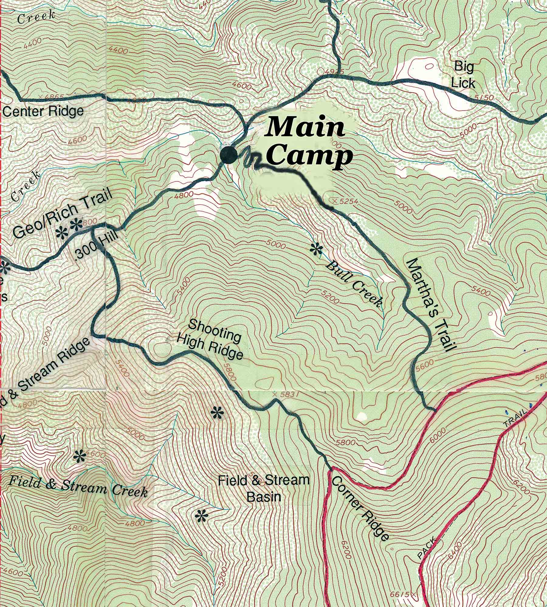
Although this topographic map is more than 30 years old, it illustrates how the author laid out off-trail routes (shown in black) which he “ground proofed” on foot and later used to navigate cross-country with his stock to access key hunting areas as well access to the main USFS trails (shown in red).
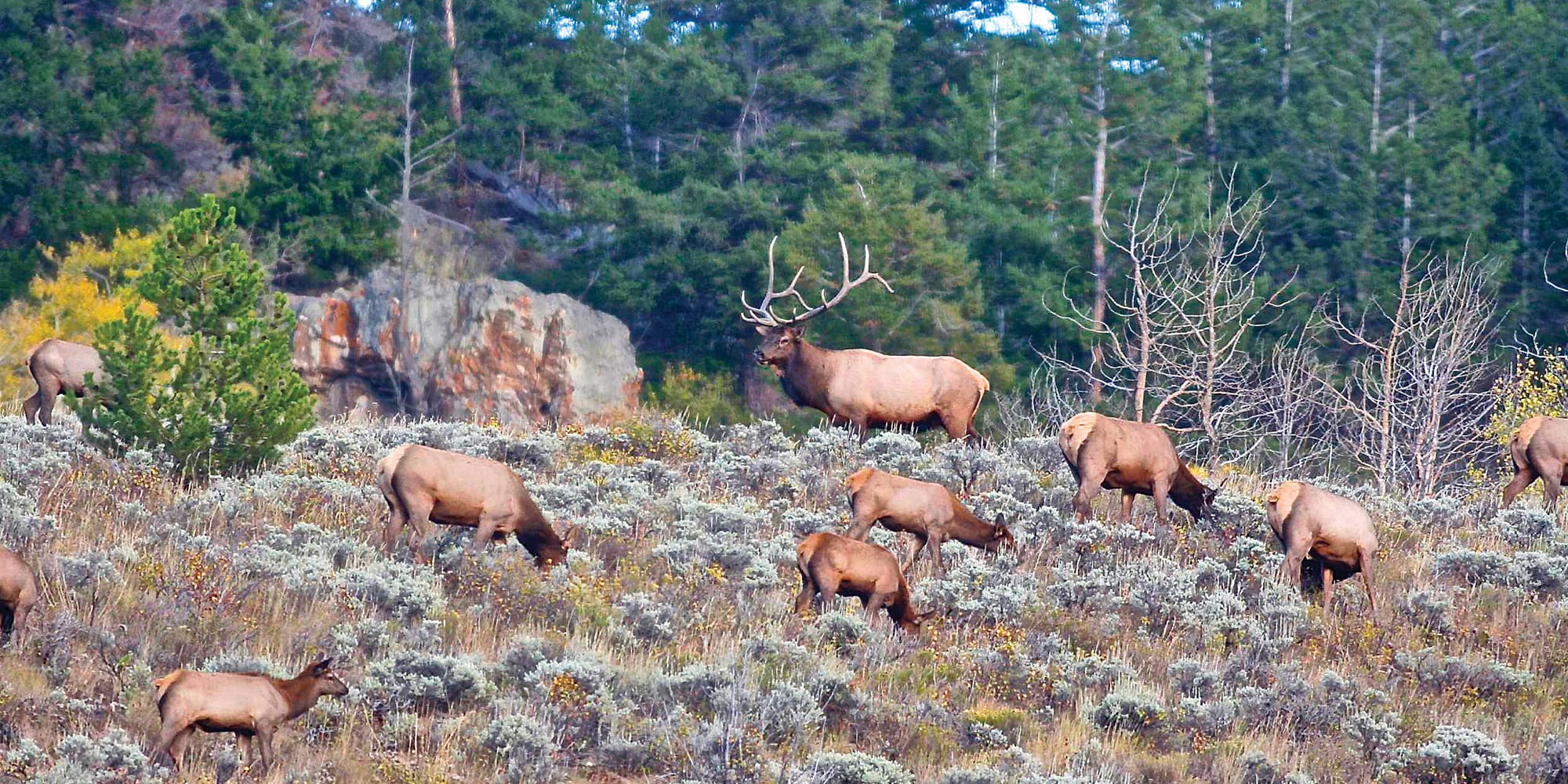
Nearly 40 years ago I was so motivated to layout new routes for horseback hunting trails each summer that I had a friend fly me over my hunting area in Idaho and I took photographs from his super cub of the areas where I was interested in planning new routes. Once I got the photos developed I drew with a “sharpie” the potential locations of the new routes. The next summer I matched the photos with my topographic maps and was able to link open meadows with pathways through the brush fields to access new hunting areas each summer. Each new route had to be ground tested with my stock each summer to make sure it was negotiable. In those days we had to remember the location of these trails as we traversed them in the summer. Fortunately, I had a riding horse whose memory was better than mine and once I got him to the starting point of such a trail he was “on it” to the end. It was interesting that when we traversed a route with our horses in the summer the elk would find these same trails and often. by fall. they had become elk highways…..Pre-wolf, when Idaho’s Clearwater National Forest was home to the nation's largest herd of elk.
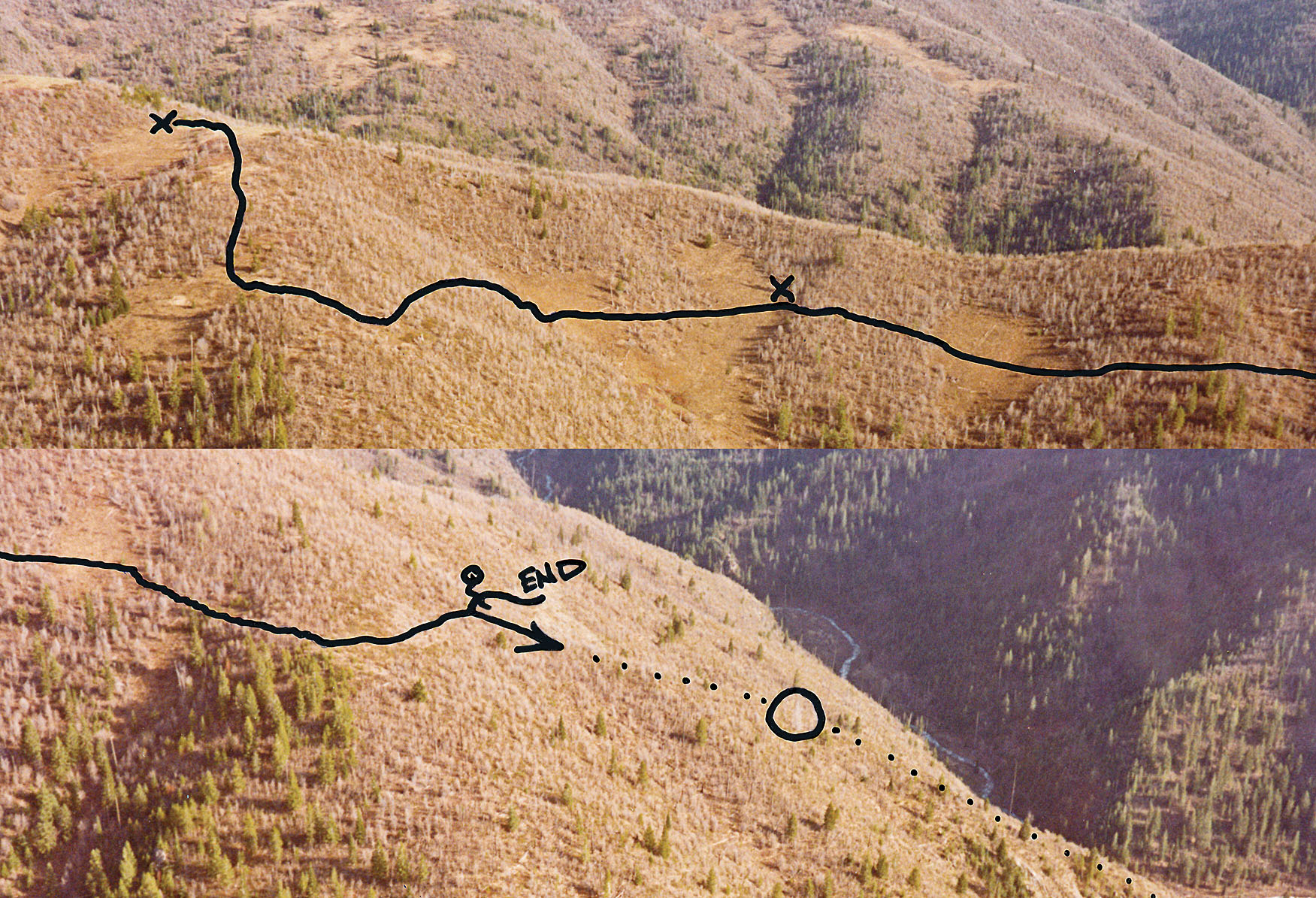
These photographs were taken from an aircraft by the author, printed and off-trail routes were designed by hand to take advantage of open areas, topographical features, good soil, etc. to get riding and pack stock to new hunting areas. The “End” notation on the lower photo is where the hunting party initially tied their riding stock for the day as they dropped down the dotted route on foot to access elk across the canyon. Later they were able to take their stock all the way to the bottom of the canyon, cross and go up the other side to pack out the bulls they harvested over the years via this route. This same technique can be facilitated today with Google Earth, onX Hunt, and other satellite imagery.
One of the author’s all-time favorite off-trail campsites in the Idaho backcountry. After 30 years the off-trail route into the camp is still passable, but one has to recall the location of the route as it is so overgrown with brush that any traces of animals traversing this path in the past is obscured.
Today’s Technology
Today, with access to Google Earth, onX Hunt, and other mapping systems such as Garmin’s Bird’s Eye view, laying out a route and navigating that route with stock has taken on a whole new and much more interesting and simple dimension. These mapping systems and their route and tracking systems are a huge asset to horseback hunting. In short, they have revolutionized the way in which today’s DIY hunter “scouts” a new hunting area and lays out routes to key spots. In addition, various states provide “hunt planners” complete with hunting unit maps, including georeferenced maps. Other sources of maps and information abound on the internet. Motorized and non-motorized trail use is especially important for horseback hunting to steer clear of motorized routes. For example, Idaho State Parks and Recreation’s Trails.Idaho.gov app has excellent maps showing motorized and non-motorized trails. onX Hunt has a layer that shows recreational trails and identifies motorized and non-motorized trails.
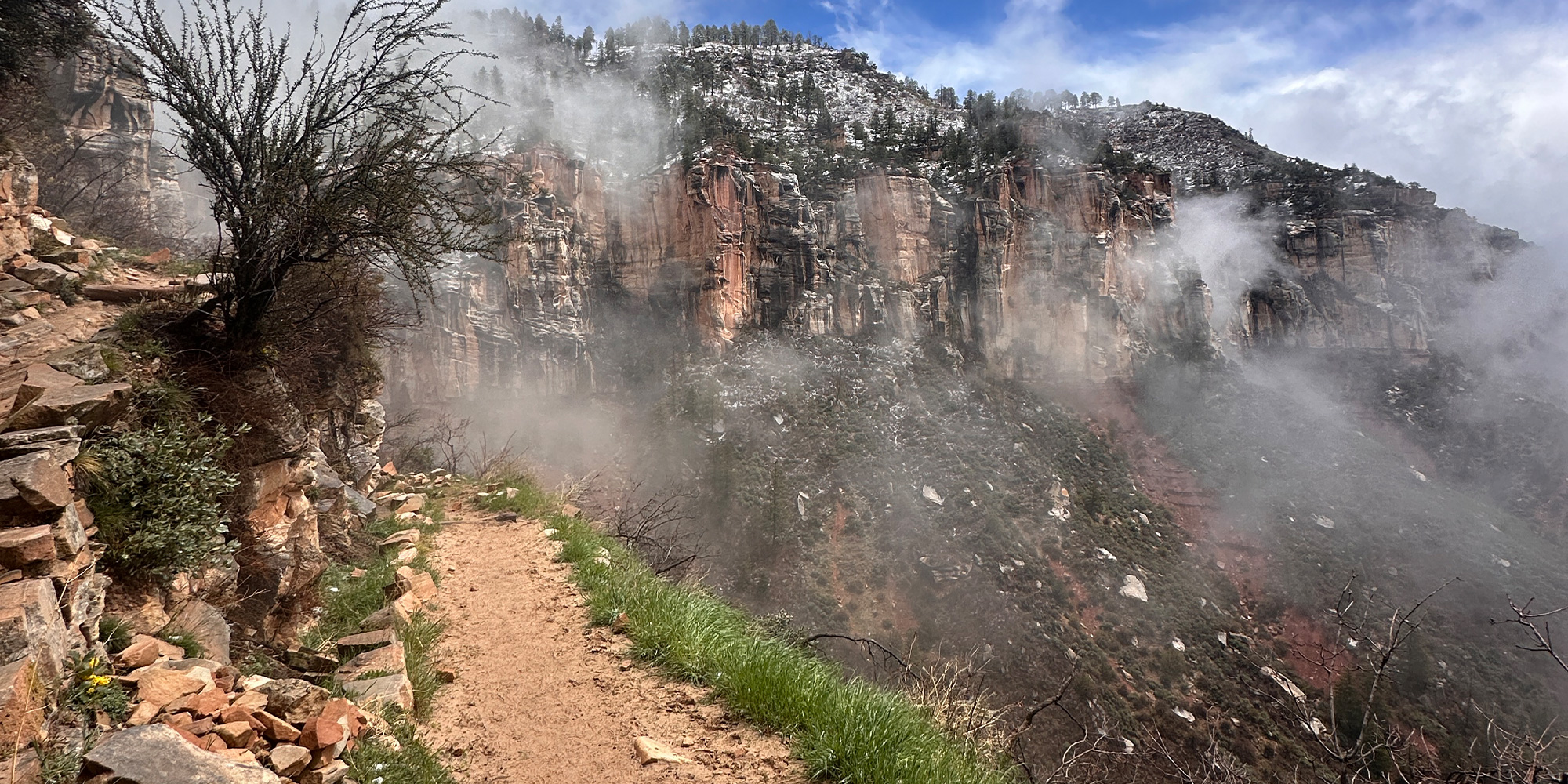
Throughout the west, fog and low clouds are often encountered in the backcountry. In cases like this when traveling off-trail routes with no signs, excavated trails, blaze marks, etc. to follow, one must often rely on simple woodsmanship/instinct or stock that knows the trail. A GPS or onX Maps app on a cell phone can prevent an encounter with the lost world.
With Google Earth and other “satellite view” websites and smartphone apps, it is much easier to plan routes through all kinds of terrain where one can get riding and pack stock to key locations. With the ability to view 3-D images of a particular location along with satellite imagery it has become much easier to plan a tentative off-trail route since you have a virtual image of what the terrain actually is on the ground. White areas on a topographic map may be rock slides, whereas on Google Earth one can discern the difference between the rockslide and grassy slopes, etc.
onX Hunt has a line feature that one can use to lay out a route ahead of time and follow using the onX Hunt mapping feature and the satellite capabilities of a smartphone. Garmin GPS units have route planning features that allow one to plan a route ahead of time and then follow that route using the GPS location information. While you are negotiating a route you can record your actual track and use the track to navigate the route in the future.
onX Hunt allows you to share routes and waypoints with others and Garmin GPS units with ‘share wirelessly’ capabilities allow you to share your waypoints an tracks with others in your horseback hunting party. Garmin inReach allows a user to lay out routes ahead of time as well as share real-time locations and tracks with others while off the grid by communicating with others via email, text, or while off the grid (no cell coverage or wifi) from inReach unit to inReach unit. Google Earth has similar features for laying out routes, waypoints, and tracks.
In addition to onX Hunt, inReach, and Google Earth, there are other excellent mapping apps for smartphones, including Avenza Maps, BaseMap, US topo maps, all of which have tracking, waypoint, and other features. If you have a bit of tech-savvy you can download a variety of USFS, USGS, satellite imagery and other layers on your GPS, but that’s another story.
Once you have these routes, waypoints, and tracks on your GPS, inReach, or onX Hunt app on your cell phone it is simply a matter of using one of these units to navigate to where you want to go. In addition, I really like paper maps! As a result, I plot these tracks, routes, and waypoints on maps, such as custom topo maps from My Topo.
Garmin inReach will transmit real-time tracks and waypoints via satellite allowing the backcountry traveler to communicate real-time with friends and family. These units also have an SOS capability in case of the need for emergency rescue.
In a conversation with Zach Sandau, onX Hunt Marketing Manager, he noted that most users of the onX products use them mostly to determine their location and property boundaries. Other features and layers are not used nearly as much. I found this interesting because the onX app and Garmin GPS both have many other features that are valuable for negotiating the backcountry while horseback hunting.
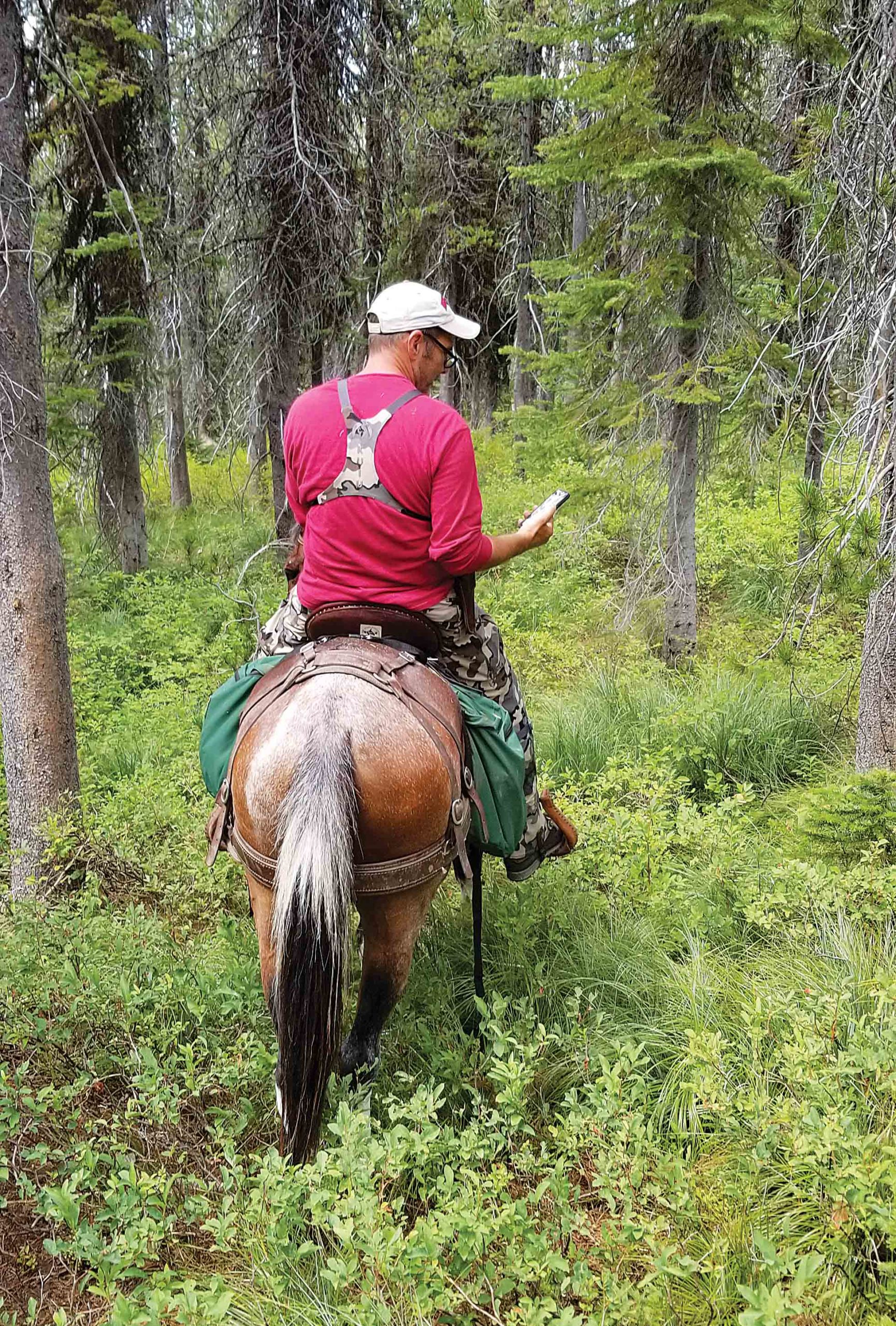
GPS features such as projecting a waypoint and then following the route through thick understory and timber is an invaluable feature for finding truly remarkable hunting areas.
onX Hunt (shown using the topo map layer) allows the user to record a track which can later be followed to locate a kill site, develop a route for accessing a key area with stock or to simply follow back to your point of origin.
The “line” tool onX Hunt smartphone app was used in this case to lay out a route from the end of one trail across a wide expanse of the grassy hillside to the beginning of another trail on a remote hillside in Montana. Later the yellow and blue tracks were recorded after we used the route with our stock.
My hunting partners share my affection for our stock and when presented with a treacherous or otherwise dangerous trail or route conditions our stock comes first, regardless of how far we may have to walk or lead a single animal or pack string to safely negotiate the route.
My Stock Always Comes First
When I first started this process nearly 50 years ago, I was quite timid in the use of what stock I either had or could borrow. This limited what areas I could access, but at least I did not injure any of my stock attempting to go places where I should not have gone. It was always better to ride my horse part of the way to a key spot and walk the rest of the way. Later, as I experienced other hunters using horses, I experienced a number of overly bold hunters regularly put their horses or mules in extremely dangerous situations and did not think anything about it. These individuals injured or killed good riding and pack animals by being overly bold and uncaring. They had a lot of money and “it was just a horse or mule.” Often these animals stood in a pasture 11 months of the year, got shod, and were put out into the backcountry regardless of their conditioning, age, or anything else. Personally, I learned long ago that my horses and my mules are my hunting partners and the last thing I want to do is put them in harm’s way. Hunting elk without my stock is like hunting birds without a bird dog….it is truly a shared experience and one that I will always treasure.