NOTICE: Certain links on this post may earn a commission for Western Hunter Magazine from Amazon or our other affiliate partners when you make a purchase. Thank you for your support.
Reliable Apps for Hunting
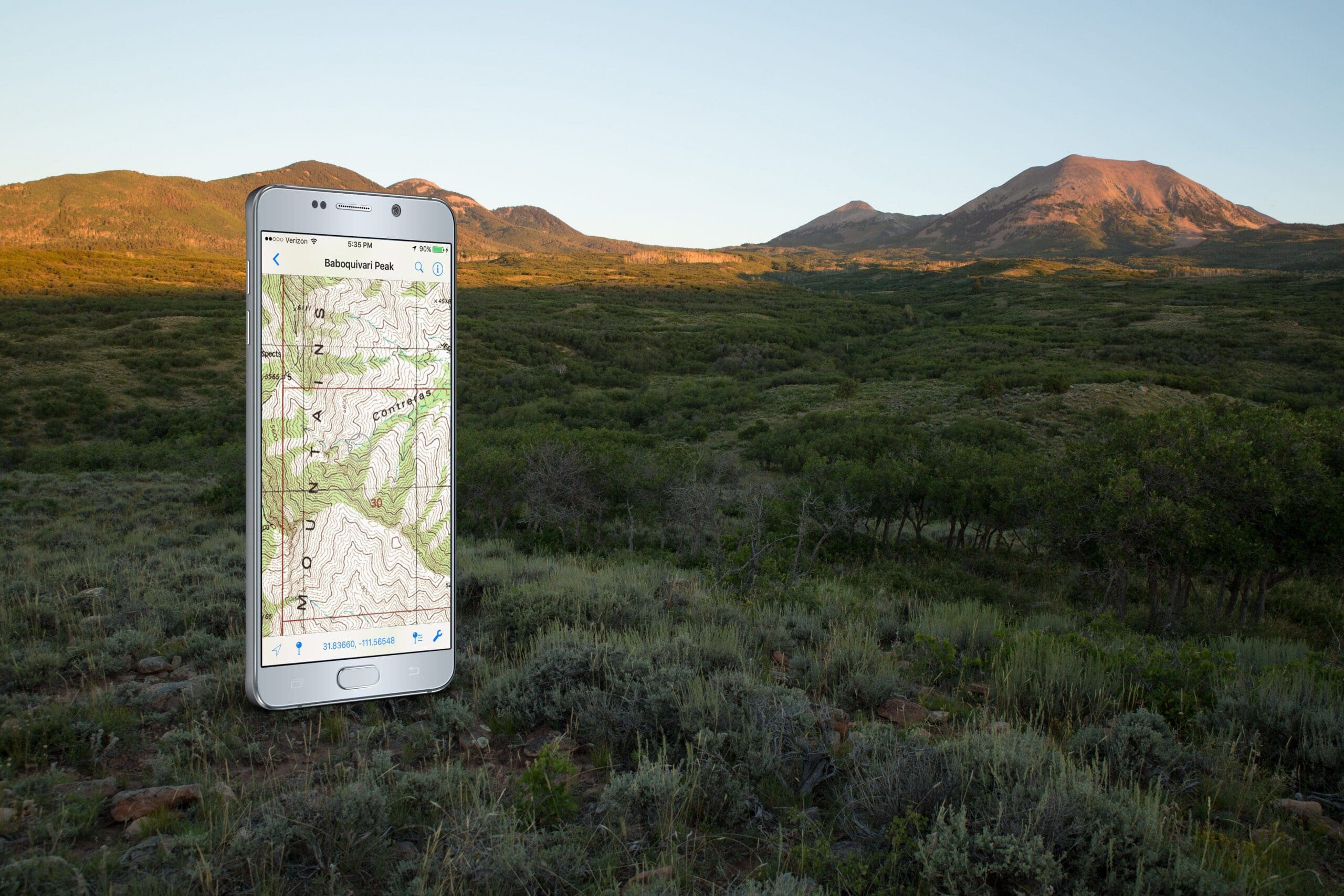
Cell phones can do some amazing things. Still, I think a lot of people, me included, have doubted the GPS accuracy of a smartphone. The truth is phones are extremely accurate. Most of us continually upgrade our phone every 2-3 years. As we upgrade, we’re also upgrading the GPS systems used in our phones. Most smartphones made in the last few years will be accurate within 3-5 meters. Bluetooth devices can be purchased to provide even more accuracy for a smartphone or tablet. most apps for hunting have a 3 to 5-meter accuracy is usually good enough for most hunters.
Accuracy aside, how do phones compete with traditional GPS? The answer is “quite well” and in many cases “better”.
Convenience, weight: First of all, most of us always carry a phone. It’s the one piece of equipment that we never have to remember to pack. Leaving the traditional GPS at home will simplify our lives and lighten our packs.
More options: There are many different apps for hunting available for cell phone users. This allows hunters to pick the system that fits their needs and their budgets and not be tied to the platform attached to their handheld GPS. Many of the same maps are actually cheaper on your phone than on a handheld GPS, because the level of completion is so high.
Updating/upgrading: Phone apps for hunting are easy to update. Most will do so automatically and they don’t require connection to a computer.
Quality visual: You won’t be sacrificing quality of maps on a phone. In fact, the opposite can be true.
Customization: Many programs now allow the user to customize maps for their own specific needs.
If you’re considering buying a traditional GPS, I’d seriously consider doing more research. Spend the money on a small packable solar panel and perhaps a waterproof case for your phone. You’ll probably spend less money and have a rechargeable system for the backcountry.
Airplane Mode vs. Cellular Data
Navigational apps for hunting don’t all work the same. Some can work without the need to acquire cellular data; some can’t. This difference is an extremely important factor in choosing the system that best suits you.
Apps for hunting that work without cellular data will save maps to your phone and solely rely on your phones on-board GPS system to navigate. This allows you to navigate when and where there is no cell service - a condition common to the hunting grounds in the West.
When an app works without cellular data, the phone can be turned on airplane mode. This will save battery life, as your phone won’t be searching for cell towers. I’ve been able to take my smartphone out and use it for multiple days on airplane mode.
The downside of using a phone in this mode is you’re forced to use the maps you’ve saved onto the phone in advance, so pre-planning becomes critical.
You must avoid the constant temptation to use your phone for any other purpose to maximize battery life. I have to ration 60% of my phone’s power for navigation and the other 40% to fantasy football. Any deviation from this plan results in me losing at fantasy football and being terribly lost in the woods.
Some apps for hunting have to acquire cellular data in order to work, but depending on your needs, it isn’t always a bad thing. The maps are often better and more detailed. This requires far less pre-planning, downloading, and saving maps before the hunt starts.
If you’re a person that mostly day hunts, or hunts in an area with good cell service, it’s probably advantageous to use cellular data. When a smartphone uses cellular data to find your location, it’s also a much quicker process then relying on just the onboard GPS. Fortunately, many of the navigational programs out there allow hunters the freedom to save maps and use airplane mode, or use cellular data if they choose.
The only thing consistent with smartphone technology is change. Since virtually all of us own a phone, companies will continue to innovate and capitalize on this growing market. This is good news for consumers, but it can also be very challenging to keep up with changing technologies and options.
Let’s look at some of these great new apps for hunting and their different features. All of these programs will work with both Android and Apple devices. Our goal is to keep you informed the best we can in this ever-developing, extremely important industry.
Tier 1 Apps For Hunting
The best way to find out what app you need is to figure out what type of hunter are you. Do you go out of state often? Do you hunt often in different game boundary units? Are you often in situations where land boundaries can be confusing? If the answer is yes to any of these questions, I’d take a hard look at any of the options listed in Tier 1.
These navigational systems are the best of the best, offering a comprehensive professional product that provides quality navigating tools. Any of these options would be a great choice for those looking for a new tool for their hunting arsenal. Just be prepared to pay for these services. They aren’t free, but good maps are priceless and will often determine the success of a hunt.
Your phone will operate and feel like a traditional GPS when using these programs. These systems will track your routes, plot traditional and photo waypoints, and show your elevation and compass bearing. These apps all allow you to build custom maps tailored to your specific needs.
All of these programs offer a wide variety of basemaps (the main component of a map). This is where you choose between topographic, aerial (like a Google Earth view), street maps, or other options. This is your base layer; the meat of your map.
Then the user can choose layers they want to overlay. Good examples of layers include roads, hunting unit boundaries, trails, etc. Then, these maps can be saved to your phone and used offline, saving battery life. While these custom maps are a great feature and provide many options, sometimes it’s just easier to use the standard maps that come with these apps.
The bottom line is these apps for hunting are the best. You’ll have many options and features; probably more than you’ll ever use.
onXmaps
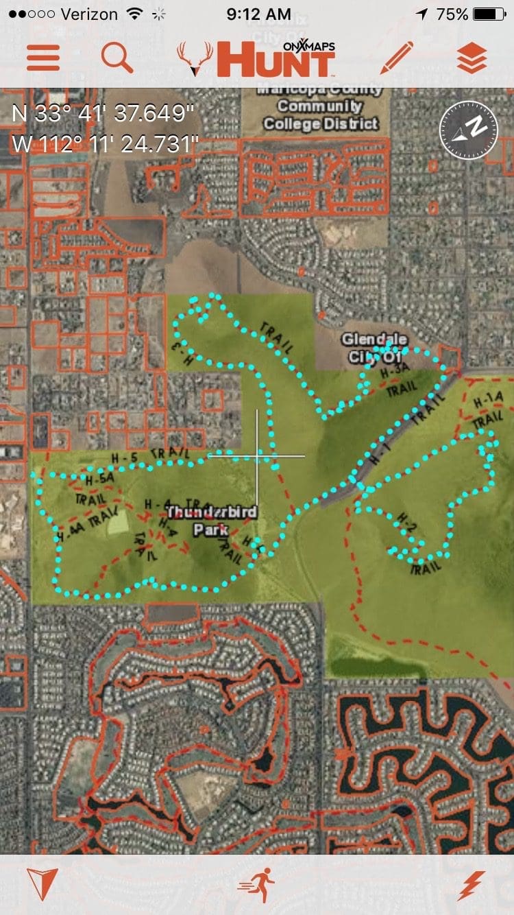
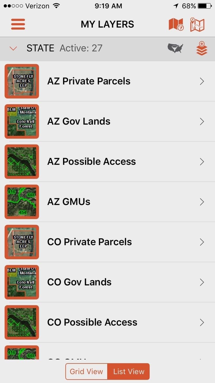
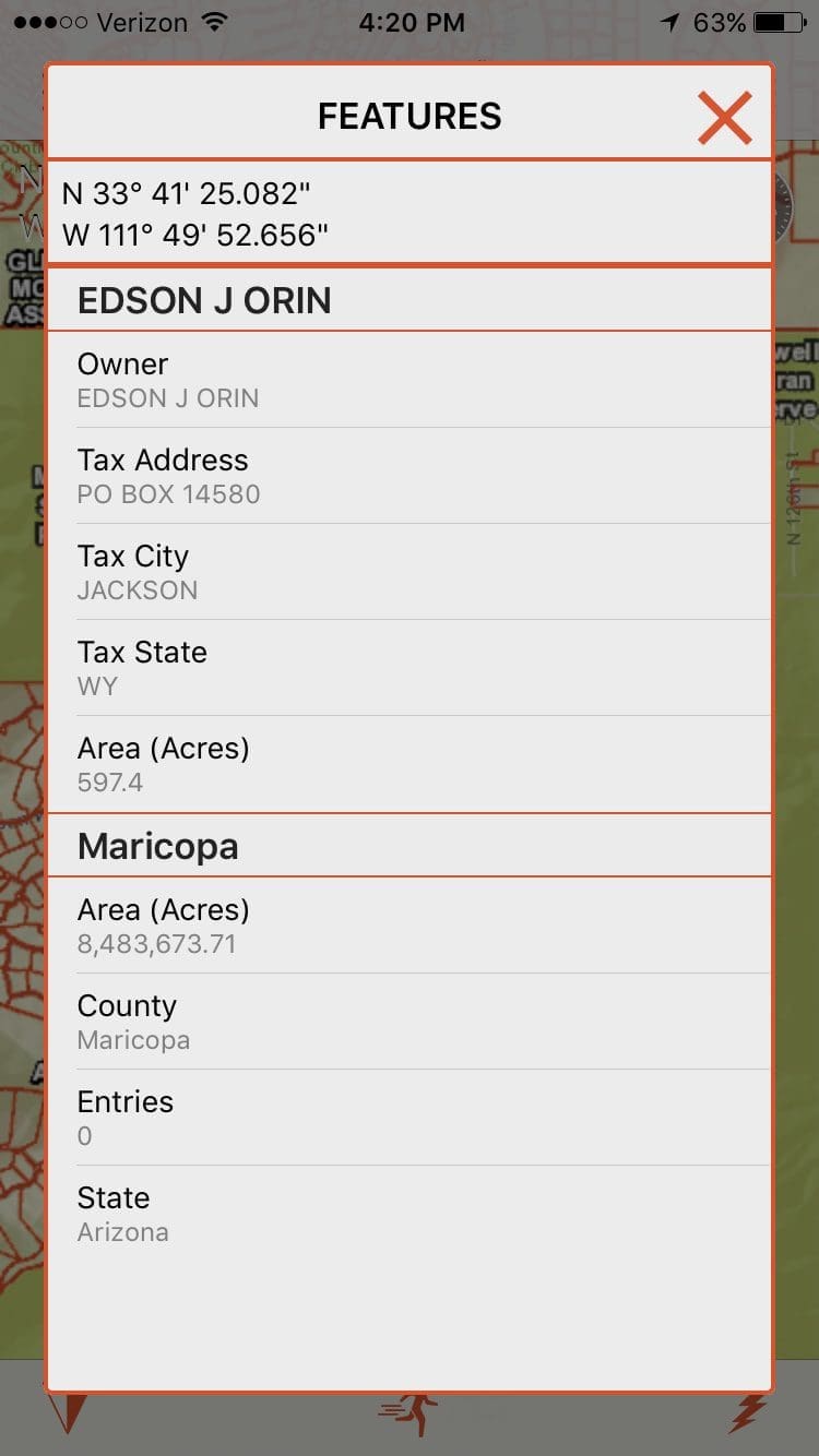
As a longtime provider in mapping chips for traditional GPS, onXmaps continues to be a frontrunner in hunting navigation. Formerly known as Montana GPS, they’ve always been a very trustworthy resource for hunters in the West. OnXmaps has taken their experience and created a smartphone app called HUNT, which is sold on a yearly subscription fee per state. All 50 states are available.
One interesting feature is that HUNT is now uploading forest and user maps from government agencies, such as USFS and BLM. The same maps that are available for purchase through these agencies are available for digital download at a reduced price.
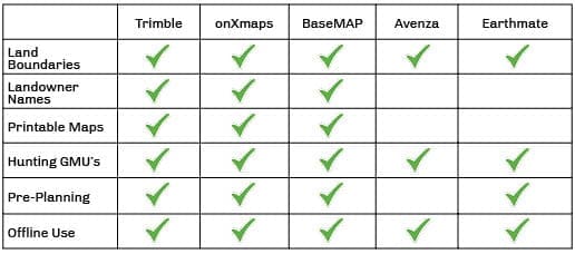
Best Features: Lots of options for base maps and layers. Some unique options for layers, like current wildfires burning and many weather options. HUNT has a unique and really useful option - you can choose to only use the maps you’ve saved and not use cellular data. Unlike other appsfor hunting, you don’t have to turn your phone on airplane mode to do this. OnXmaps can work without cellular data, but your phone will still receive calls and texts. This is a good compromise that saves battery life and still allows you to communicate with the outside world or your hunting partners. Provides landowner names in many states.
Could Be Better: Lack of a go-to waypoint like traditional GPS offers. The app could be easier to learn, but that’s partly because it provides many options and features.
Free Version: Yes.
Cost: Western states are all $29.99.
Tier 2 Apps For Hunting
These programs are a less expensive or free alternative to the options listed above. Depending on your budget, needs, and time in the field, these options may work just fine. Just like the apps in Tier 1, these programs also work offline in airplane mode - a feature I consider very important for the serious western hunter. If you’re unsure about your navigational needs, these are worth a look.
Earthmate
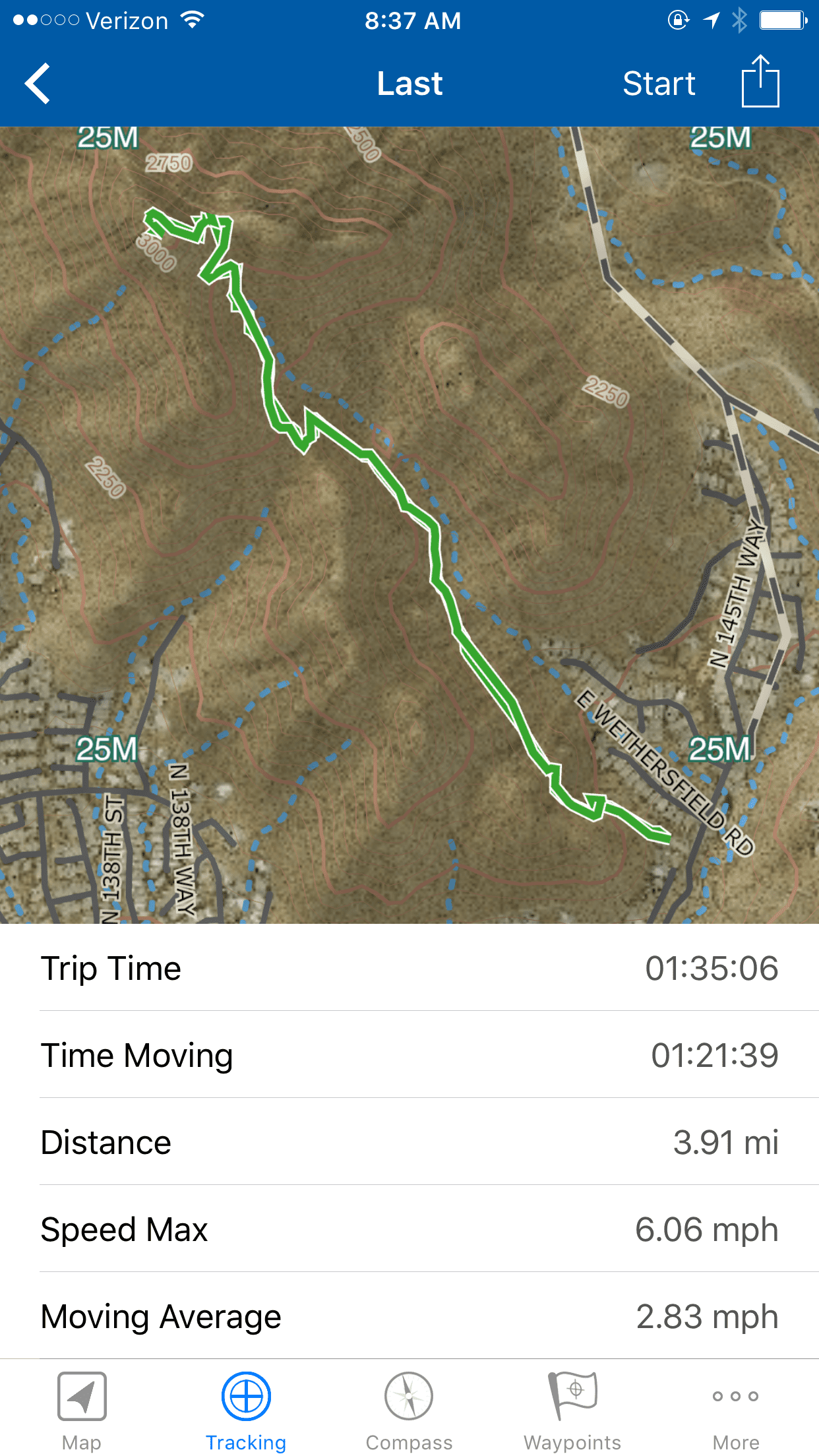
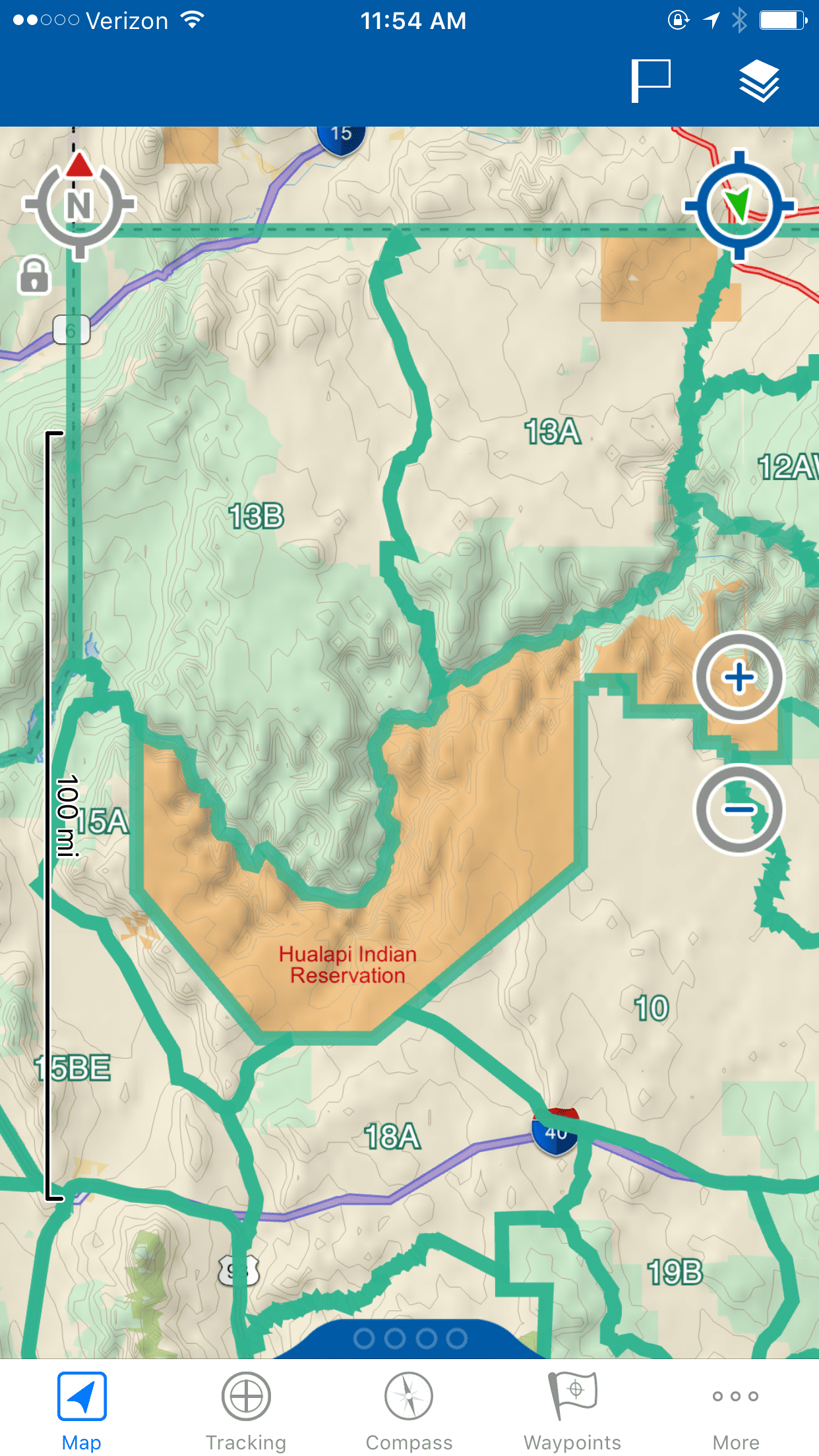
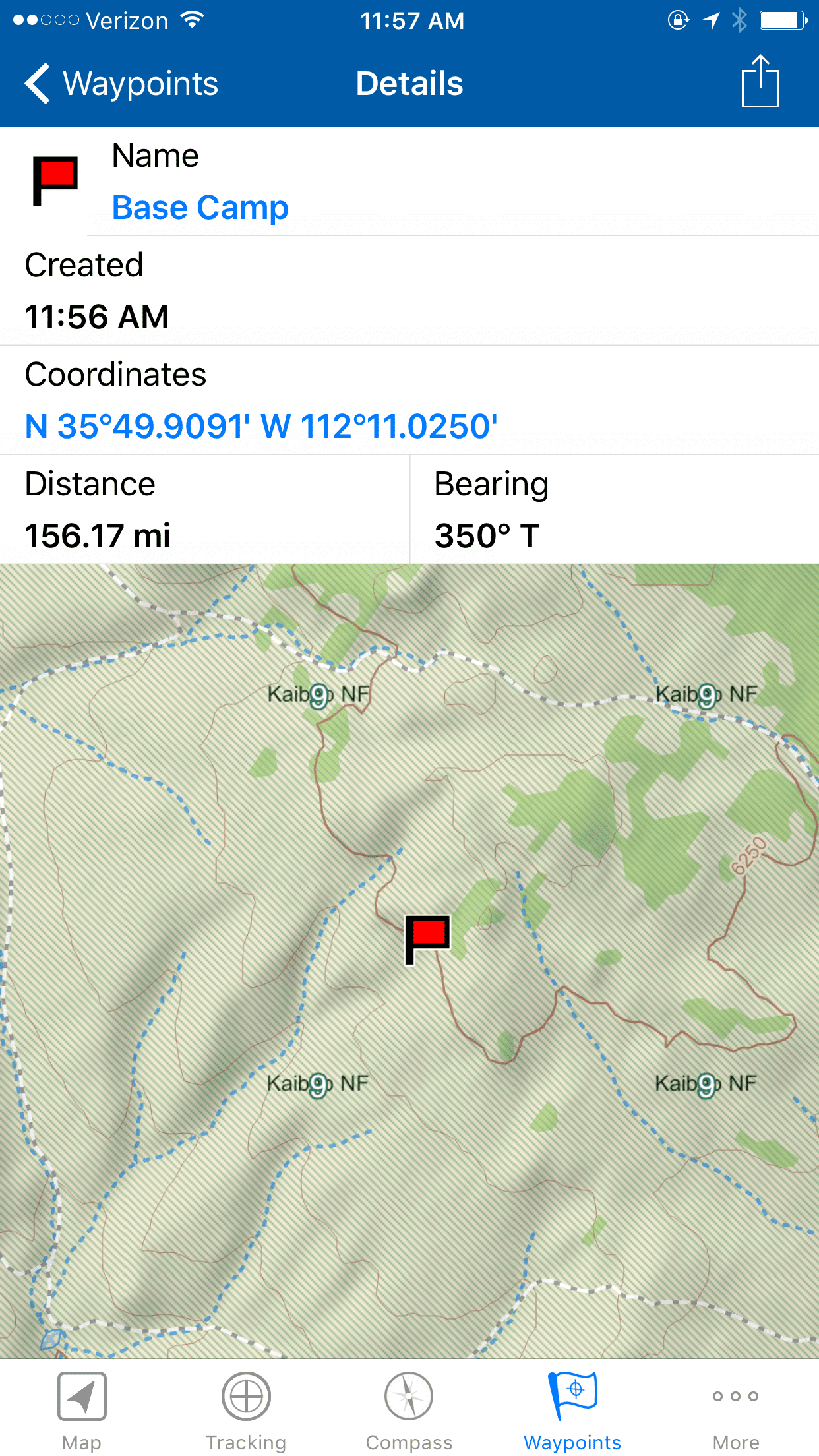
Earthmate Hunt Edition is an app run by Garmin that provides a good service but falls short of its competitors with their added benefits. Earthmate provides a yearly subscription that gives customers access to maps from all 50 states, including Game Management Units. Unfortunately, land ownership contact information isn’t available nor is the ability to print paper maps. This is a good mid-price option though and shouldn’t be overlooked for what it provides.
Best Features: Great price for the entire U.S. The interface is easy to use and the maps all respond quickly. Large regions and states can be saved and used in offline mode. This allows hunters to save extremely large areas with very little memory required.
Could Be Better: The base map and layer options are limited in quantity and quality in comparison to the apps in Tier 1.
Free Version: No.
Cost: $39.95 (first year); $19.95 annual fee afterward for all 50 states.
BaseMAP
BaseMAP is a brand-new option created by Jeff Balch; so new in fact that at the time of this article, the mobile platform wasn’t yet up and running. Expect it very soon, likely before summer.
This option is different because it offers more than your typical navigational platform. Some of the unique features BaseMAP offers its members are access to statistics, draw odds, and point information. Subscribers can scout and plan trips on their desktop and sync this info with their phones.
Cost: BaseMAP has 4 different zones - West, Central, East, and Canada. Each zone costs $49.95 for a yearly subscription
Avenza PDF Maps
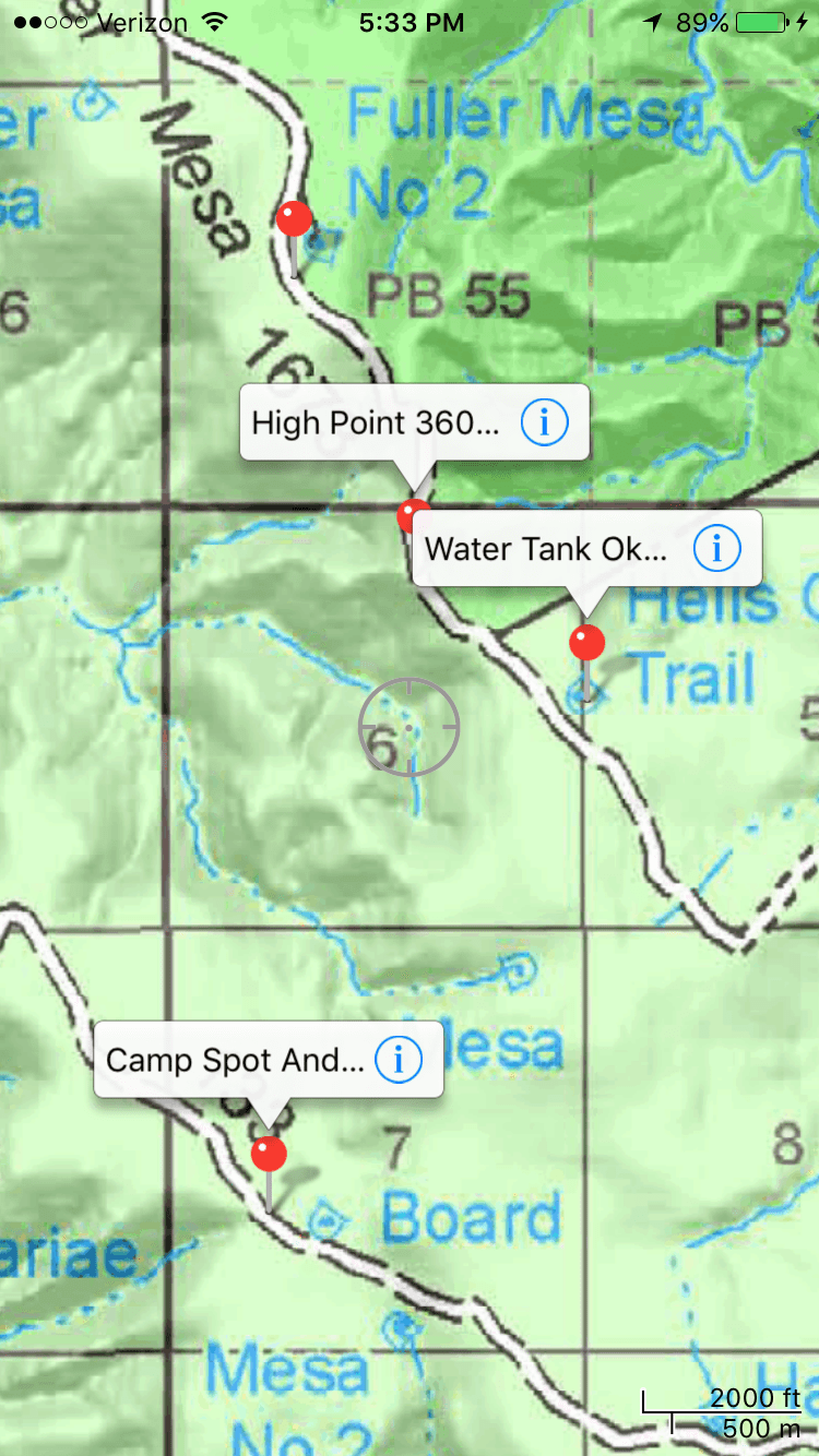
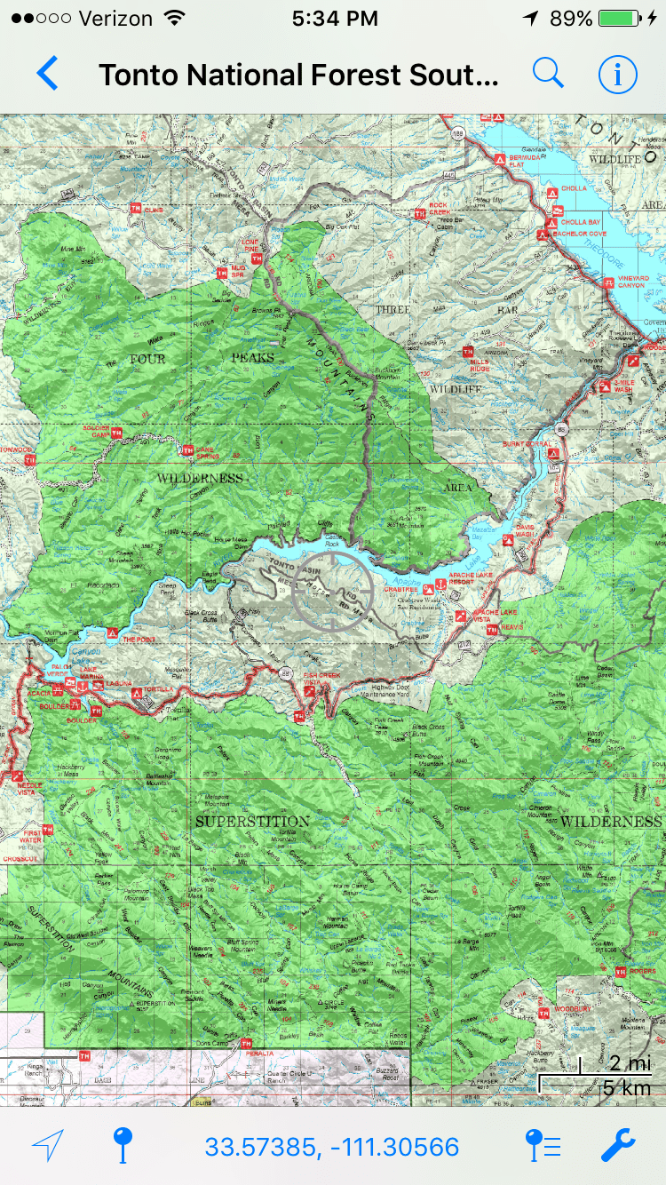
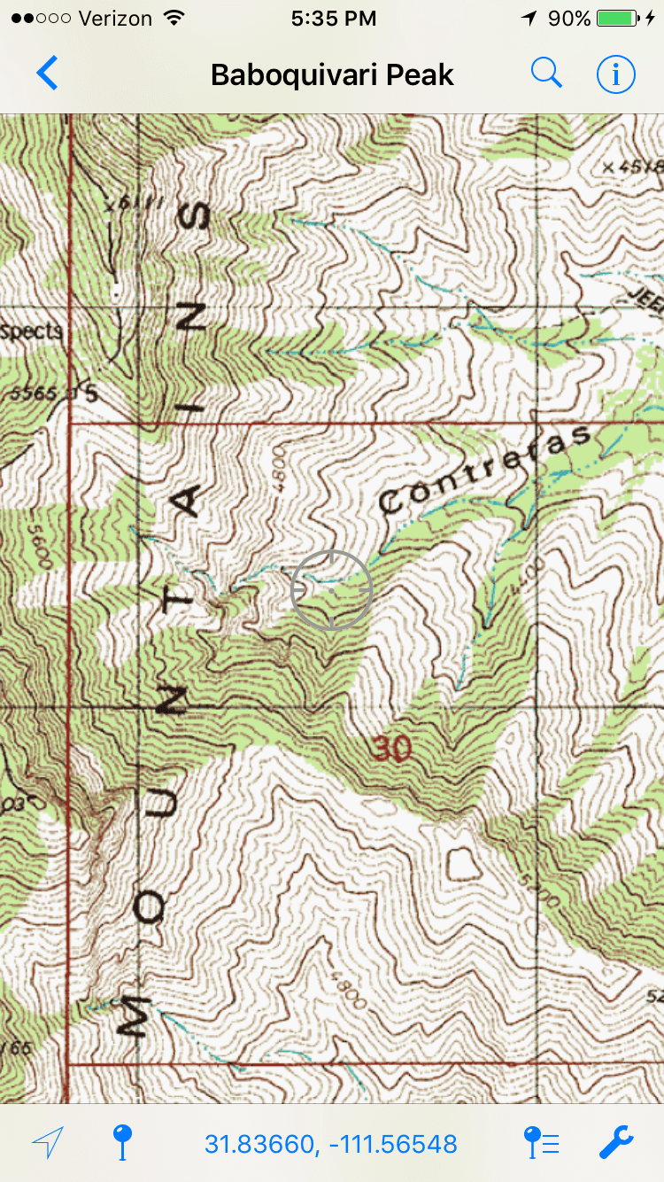
Avenza allows your phone to function as a GPS and is a popular app with many government agencies. The Forest Service, BLM, and other state and local agencies import their maps to this system. The cost of maps depends on the agency and map type; some are free and some charge a fee.
Once you download these maps, they are good for life and you can always save/import them later to an additional device. PDF maps must be saved to your phone, allowing the app to be used without cell service or on airplane mode. Fortunately, the PDF files are small and don’t use a lot of memory.
Game Planner Maps: New companies are coming into the markets that allow you to purchase maps and upload them onto the Avenza platform. Game Planner Maps is at the forefront of this technology. Game Planner calls them Digital Maps, and each map provides complete coverage of at least one GMU on a topo base map at a 1:24,000 scale. Game Planner Digital Maps include game unit boundaries, surface water, roads, trails, wilderness boundaries, and surface ownership.
Game Planner also sells memberships to their Premium Map Viewer, which gives users the ability to design and customizer their own PDF maps, choose which specific layers they want, and download maps directly to your computer. One of the tools offered by Game Planner is the ability to overlay your maps with big game distributions, habitat features, and all of the layers available on the Digital Maps. The Game Planner Map Viewer offers top and aerial base maps and provides complete coverage of a growing lineup of western states.
The PDFMaps app essentially turns your phone into a GPS. With practice, you can log waypoints, record a track, estimate distance, plot your stalks, etc. The PDFMaps app exports waypoints, tracks, and geotagged photos to KMZ, which can be opened with Google Earth.
Best Features: Simple user-friendly interface. Maps don’t use a lot of memory. Becoming more versatile when pairing with other companies’ technology.
Could Be Better: The downside to this system is that it’s really hit and miss. Finding and searching for maps can be difficult. Some areas have good maps available and some just don’t.
Cost: Free for the app; maps vary in price.
Beartooth
Beartooth is an interesting new product that isn’t really related to the other apps in this review. However, it’s worth mentioning, because it adds some unique features to the smartphone that were only previously available to the handheld GPS or 2-way radios.
This device pairs with your phone with a Bluetooth connection. Then, you can put the Beartooth in your pocket, in your hunting pack, or anywhere in your possession. Instantly, your phone will be able to text, talk, or send your location to other people with this device, without cell reception. It’s a unique tool that is great for peace of mind in the backcountry or just communication between hunting partners (when legally and ethically appropriate).
An added benefit of the Beartooth system is this device has enough energy to charge your phone one extra time.
Cost: $99.99 (free shipping).
Useful Tips
There are a lot of options out there and more popping up seemingly every day. Hopefully, we’ve given you a good start on your search for the best system for you. All of these companies have websites that allow you to research these apps for hunting further. I’d strongly suggest downloading the free versions available. Depending on what type of hunter you are and where you hunt, the free versions may be good enough. Even If you are planning on purchasing an app, test the free versions first, and see if you like how user-friendly the systems are.
Remember to close the apps and programs that you don’t use when you’re hunting. Leaving these programs open will drain your battery, as your phone will run these apps in the background. I’d even suggest closing your navigation apps or shutting your phone off if you don’t need to use it.
Find a ringtone that is slightly less loud and annoying than the others on your phone. Consider purchasing a ringtone or text alert that is an animal noise. As much as we try to be religious about keeping our phones on silent, they’ll go off eventually. Don’t be that guy and continue to check your phone.
If you have an iPhone like me, your phone may turn itself on and off silent mode in your pocket. Beware of this and make sure to check it periodically. Sometimes it may be best just to turn your phone off altogether.
Spend the money and buy a good waterproof case. I‘ve gone through two phones this past year due to water damage. I’ve also witnessed phones with reliable cases fall off vehicles at highway speeds and get submerged in water. The phones with good cases usually escape unharmed, and those without do not; it’s really that simple. Spend the money and protect your phone and your investment. We all know it’s not just your phone anymore; it’s a part of your life.
